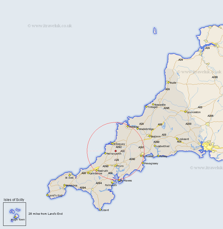
Cornwall Map Showing Location of Newlyn
District: Carrick
Easting: 183122 Northing: 56382
Latitude: 50.37 Longitude: -5.05
 = Newlyn
Easting: 183122 Northing: 56382
Latitude: 50.37 Longitude: -5.05
= Newlyn
This Newlyn map below is supplied by Google. Use the tools in the top left corner to zoom into street level or zoom out for a road map, you may also need to zoom in to see Newlyn on the map. Click and drag the map to move around. If the map fails to load try and refresh your browser or zoom in or out (+ or -).
Update - it seems Google no longer allow people to use their maps for free! This Newlyn map sometimes loads and sometimes gives a error. I am working on a solution.
Closest 30 Towns or Cities to Newlyn (Population over 500)
Cubert 5.08km Crantock 6km Newquay 6.04km Perranporth 7.33km Perranzabuloe 8.01km Ladock 9.02km St Columb Major 11.1km St. Columb Major 11.1km St. Columb 11.1km Saint Columb Major 11.1km St Columb 11.1km Saint Columb 11.1km Truro 11.12km Kenwyn 11.18km St. Stephen 11.27km Saint Stephen 11.27km St Stephen 11.27km Probus 11.68km Saint Dennis 11.96km St Denis 11.96km St. Dennis 11.96km Saint Denis 11.96km St Dennis 11.96km St. Denis 11.96km Saint Agnes 13.07km St Agnes 13.07km St. Agnes 13.07km Creed 14.12km Tregoney 14.6km Kea 14.83km