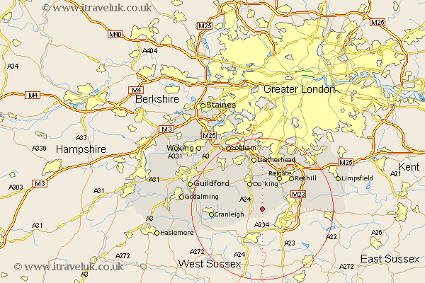
Surrey Map Showing Location of Newdigate
Population: 1524
District: Mole Valley
Easting: 520053 Northing: 140430
Latitude: 51.15 Longitude: -0.28
 = Newdigate
District: Mole Valley
Easting: 520053 Northing: 140430
Latitude: 51.15 Longitude: -0.28
= Newdigate
This Newdigate map below is supplied by Google. Use the tools in the top left corner to zoom into street level or zoom out for a road map, you may also need to zoom in to see Newdigate on the map. Click and drag the map to move around. If the map fails to load try and refresh your browser or zoom in or out (+ or -).
Update - it seems Google no longer allow people to use their maps for free! This Newdigate map sometimes loads and sometimes gives a error. I am working on a solution.
Closest 30 Towns or Cities to Newdigate (Population over 500)
Newdigate 0km Capel 2.98km Holmwood 4.37km Charlwood 4.65km Ockley 5.01km Leigh 6.56km Dorking 8.19km Horley 8.35km Westcott 8.75km Wotton 8.92km Abinger 8.94km Betchworth 9.55km Buckland 9.55km Salfords 9.85km Reigate 10.36km Ewhurst 10.63km Mickleham 11.36km Redhill 12.32km Burstow 12.92km Effingham 13.77km Nutfield 13.78km Shere 13.94km Cranleigh 14.08km Leatherhead 15km Albury 15.01km Horne 15.22km Tadworth 15.23km Horsley 15.26km East Horsley 15.26km Bletchingley 15.78km