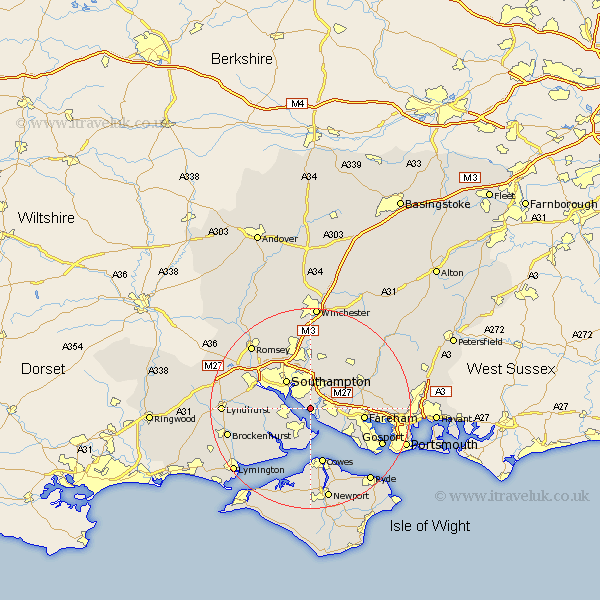
Hampshire Map Showing Location of Netley Marsh
Population: 2517
Area Size (ha): 148
District: New Forest
Easting: 446909 Northing: 107739
Latitude: 50.87 Longitude: -1.33
 = Netley Marsh
Area Size (ha): 148
District: New Forest
Easting: 446909 Northing: 107739
Latitude: 50.87 Longitude: -1.33
= Netley Marsh
This Netley Marsh map below is supplied by Google. Use the tools in the top left corner to zoom into street level or zoom out for a road map, you may also need to zoom in to see Netley Marsh on the map. Click and drag the map to move around. If the map fails to load try and refresh your browser or zoom in or out (+ or -).
Update - it seems Google no longer allow people to use their maps for free! This Netley Marsh map sometimes loads and sometimes gives a error. I am working on a solution.
Closest 30 Towns or Cities to Netley Marsh (Population over 500)
Ashurst 0.28km Hample 2.19km Hamble 2.19km Locks Heath 2.21km Bursledon 2.34km Hythe 4.68km Itchen 5.1km West End 5.56km Fawley 5.68km Dibden 7.02km Marchwood 7.26km Botley 7.26km Southampton 7.55km Curbridge 8.06km Curdridge 8.06km Bewley 9.9km Beaulieu 9.9km Fareham 10.69km Waltham Chase 10.88km Durley 10.95km Chilworth 10.95km Bishopstoke 11.12km Eling 11.16km Eastleigh 11.18km Cowes 11.36km Shidfield 11.9km Shedfield 11.9km Totton 11.9km Lee-on-the-Solent 11.94km Lee-on-Solent 11.94km