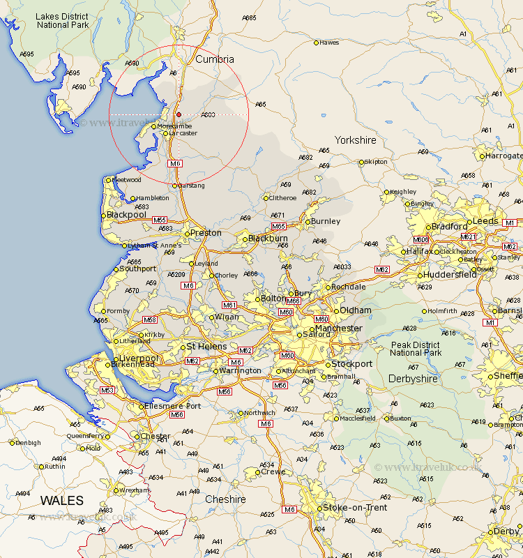
Lancashire Map Showing Location of Nether Kellet
Population: 646
District: Lancaster
Easting: 350960 Northing: 467402
Latitude: 54.1 Longitude: -2.75
 = Nether Kellet
District: Lancaster
Easting: 350960 Northing: 467402
Latitude: 54.1 Longitude: -2.75
= Nether Kellet
This Nether Kellet map below is supplied by Google. Use the tools in the top left corner to zoom into street level or zoom out for a road map, you may also need to zoom in to see Nether Kellet on the map. Click and drag the map to move around. If the map fails to load try and refresh your browser or zoom in or out (+ or -).
Update - it seems Google no longer allow people to use their maps for free! This Nether Kellet map sometimes loads and sometimes gives a error. I am working on a solution.
Closest 30 Towns or Cities to Nether Kellet (Population over 500)
Carnforth 2.15km Over Kellet 2.15km Bolton le Sands 2.86km Warton 3.86km Caton 4.29km Lancaster 6.87km Morecambe 7.5km Morecombe 7.5km Silverdale 8.6km Overton 12.89km Middleton 14.12km Forton 16.82km Cockerham 17.24km Pilling 21.5km Garstang 22.26km Preesall 24.82km Catterall 25.96km Claughton 26.03km Claughton-on-Brock 26.03km Claughton on Brock 26.03km Chipping 26.44km Fleetwood 27.39km Hambleton 28.58km Eccleston 28.83km Great Eccleston 28.83km Inskip 30.15km Elswick 30.91km Thornton 31.26km Broughton 31.52km Barton 31.52km