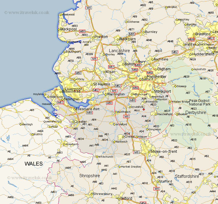
Cheshire Map Showing Location of Alderley
Population: 571
District: Macclesfield
Easting: 384445 Northing: 376314
Latitude: 53.28 Longitude: -2.23
 = Alderley
District: Macclesfield
Easting: 384445 Northing: 376314
Latitude: 53.28 Longitude: -2.23
= Alderley
This Alderley map below is supplied by Google. Use the tools in the top left corner to zoom into street level or zoom out for a road map, you may also need to zoom in to see Alderley on the map. Click and drag the map to move around. If the map fails to load try and refresh your browser or zoom in or out (+ or -).
Update - it seems Google no longer allow people to use their maps for free! This Alderley map sometimes loads and sometimes gives a error. I am working on a solution.
Closest 30 Towns or Cities to Alderley (Population over 500)
Alderley Edge 1.86km Chelford 2.89km Prestburg 5.54km Prestbury 5.54km Wilmslow 5.56km Mobberley 6.67km Adlington 7.61km Macclesfield 8.6km Peover 8.6km Peover Superior 8.6km Gawsworth 8.63km Goostrey 8.67km Knutsford 9.06km Bollington 10.14km Bramhall 10.28km Poynton 10.73km Rainow 11.08km Plumley Station 12.33km Plumbley 12.33km Bowdon 12.82km Holmes Chapel 12.83km Cheadle 13.02km Mere 13.39km Hazel Grove 13.55km Altrincham 13.55km Stockport 14.11km Disley 14.44km Brereton 14.57km Brereton cum Smethwick 14.57km Congleton 14.99km