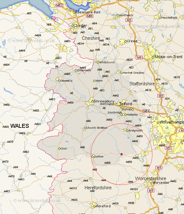
Shropshire Map Showing Location of Neen Savage
Population: 330
District: Bridgnorth
Easting: 368240 Northing: 276285
Latitude: 52.38 Longitude: -2.47
 = Neen Savage
District: Bridgnorth
Easting: 368240 Northing: 276285
Latitude: 52.38 Longitude: -2.47
= Neen Savage
This Neen Savage map below is supplied by Google. Use the tools in the top left corner to zoom into street level or zoom out for a road map, you may also need to zoom in to see Neen Savage on the map. Click and drag the map to move around. If the map fails to load try and refresh your browser or zoom in or out (+ or -).
Update - it seems Google no longer allow people to use their maps for free! This Neen Savage map sometimes loads and sometimes gives a error. I am working on a solution.
Closest 30 Towns or Cities to Neen Savage (Population over 500)
Cleobury Mortimer 1.13km Kinlet 5.03km Highley 9.32km Alveley 10.85km Bitterley 12.58km Caynham 14.07km Ditton Priors 14.64km Bridgnorth 17.02km Ludlow 18.2km Diddlebury 19.32km Worfield 19.73km Claverley 20.14km Rushbury 22.52km Barrow Bridge 24.1km Barrow 24.1km Much Wenlock 24.75km Craven Arms 25.49km Broseley 25.98km Wistanstow 27.6km Ironbridge 27.8km Madeley 27.89km Church Stretton 29.21km Cressage 29.59km Albrighton 30.92km Dawley 31.51km Shifnal 32.23km Bucknell 32.86km Berrington 33.6km Telford 33.71km North Lydbury 34.06km