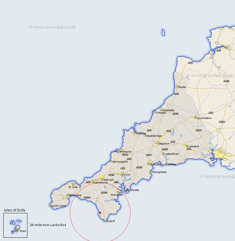
Cornwall Map Showing Location of Mullion
Population: 2086
Area Size (ha): 65
District: Kerrier
Easting: 167206 Northing: 18083
Latitude: 50.02 Longitude: -5.25
 = Mullion
Area Size (ha): 65
District: Kerrier
Easting: 167206 Northing: 18083
Latitude: 50.02 Longitude: -5.25
= Mullion
This Mullion map below is supplied by Google. Use the tools in the top left corner to zoom into street level or zoom out for a road map, you may also need to zoom in to see Mullion on the map. Click and drag the map to move around. If the map fails to load try and refresh your browser or zoom in or out (+ or -).
Update - it seems Google no longer allow people to use their maps for free! This Mullion map sometimes loads and sometimes gives a error. I am working on a solution.
Closest 30 Towns or Cities to Mullion (Population over 500)
Landewednack 6.61km Porthleven 8.8km Gweek 9.56km Helston 9.56km Helstone 9.56km Breage 11.01km Constatine 12.61km Constantine 12.61km Wendron 12.97km Mawnan 14.16km Germoe 14.64km Germol 14.64km Crowan 15.25km St Hilary 16.28km St. Hilary 16.28km Saint Hilary 16.28km Budock 17.61km Budock Water 17.61km Perranuthnoe 18.09km Falmouth 19km Stithians 19.13km Penryn 19.82km Marazion 20.18km Gwinear 20.31km Heyl 20.82km Hayle 20.82km Ludgvan 21.1km Troon 21.15km Mylor Bridge 21.95km Mylor 21.95km