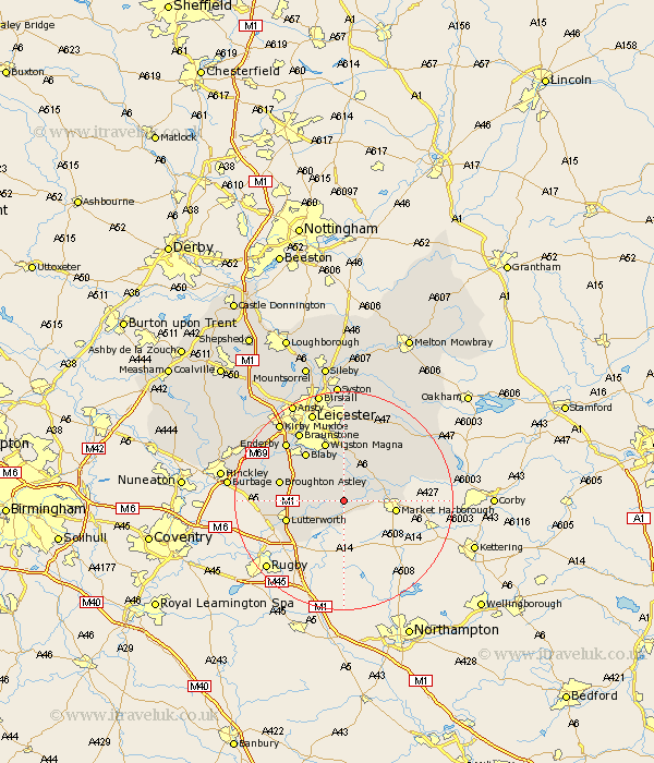
Leicestershire Map Showing Location of Mowsley
Population: 212
District: Harborough
Easting: 464506 Northing: 287729
Latitude: 52.48 Longitude: -1.05
 = Mowsley
District: Harborough
Easting: 464506 Northing: 287729
Latitude: 52.48 Longitude: -1.05
= Mowsley
This Mowsley map below is supplied by Google. Use the tools in the top left corner to zoom into street level or zoom out for a road map, you may also need to zoom in to see Mowsley on the map. Click and drag the map to move around. If the map fails to load try and refresh your browser or zoom in or out (+ or -).
Update - it seems Google no longer allow people to use their maps for free! This Mowsley map sometimes loads and sometimes gives a error. I am working on a solution.
Closest 30 Towns or Cities to Mowsley (Population over 500)
Husbands Bosworth 3.7km Walton-in-Knaptoft 4.88km Walton 4.88km Gilmarton 7.02km Gilmorton 7.02km Lubenham 7.02km Kibworth Harcourt 7.16km Kibworth 7.16km Market Harborough 9.22km Countesthorpe 9.32km Great Glen 9.34km Great Bowden 10.16km Bowden 10.16km Glen Parka 10.31km Glen Parva 10.31km Lutterworth 10.81km Oadby 11.35km Blaby 11.48km Wigston 11.62km Wigston Magna 11.62km Cosby 11.68km Broughton Astley 11.88km Whetstone 12.94km Ullesthorpe 13.67km Narborough 13.74km Croft 14.45km Claybrooke Parva 14.67km Little Claybrooke 14.67km Claybrooke 14.67km Enderby 15.05km