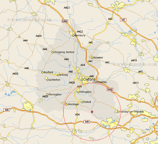
Oxfordshire Map Showing Location of Moulsford
Population: 526
District: South Oxfordshire
Easting: 458951 Northing: 181994
Latitude: 51.53 Longitude: -1.15
 = Moulsford
District: South Oxfordshire
Easting: 458951 Northing: 181994
Latitude: 51.53 Longitude: -1.15
= Moulsford
This Moulsford map below is supplied by Google. Use the tools in the top left corner to zoom into street level or zoom out for a road map, you may also need to zoom in to see Moulsford on the map. Click and drag the map to move around. If the map fails to load try and refresh your browser or zoom in or out (+ or -).
Update - it seems Google no longer allow people to use their maps for free! This Moulsford map sometimes loads and sometimes gives a error. I am working on a solution.
Closest 30 Towns or Cities to Moulsford (Population over 500)
Goring 2.18km Cholsey 3.71km Blewbury 6.06km Whitchurch 7.23km Wallingford 7.51km East Hagbourne 8.01km Hagbourne 8.01km Chilton 8.28km Nuffield 8.88km Warborough 9.35km Ewelme 9.39km Didcot 10.14km Dorchester 11.18km Benson 11.36km Harwell 11.83km Nettlebed 12.11km Long Wittenham 12.52km Rotherfield Peppard 12.68km Drayton Saint Leonard 13.03km Drayton St Leonard 13.03km Drayton St. Leonard 13.03km Drayton 13.03km Clifton Hampden 13.43km Sutton Courtenay 13.73km Chalgrove 13.77km Milton 13.91km Bix 13.96km Steventon 14.79km Stadhampton 14.88km Drayton 15.2km