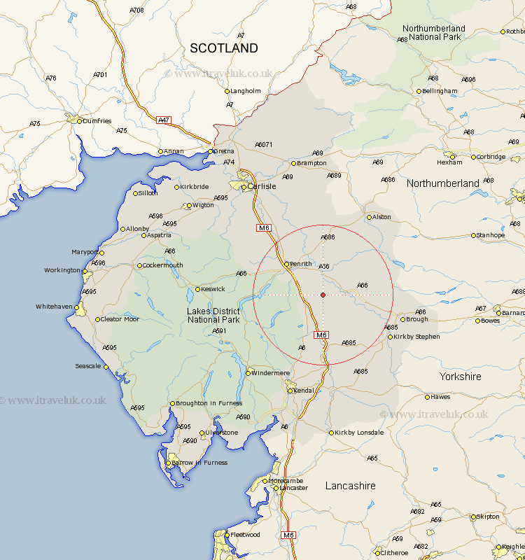
Cumbria Map Showing Location of Morland
Population: 380
District: Eden
Easting: 360148 Northing: 521088
Latitude: 54.58 Longitude: -2.62
 = Morland
District: Eden
Easting: 360148 Northing: 521088
Latitude: 54.58 Longitude: -2.62
= Morland
This Morland map below is supplied by Google. Use the tools in the top left corner to zoom into street level or zoom out for a road map, you may also need to zoom in to see Morland on the map. Click and drag the map to move around. If the map fails to load try and refresh your browser or zoom in or out (+ or -).
Update - it seems Google no longer allow people to use their maps for free! This Morland map sometimes loads and sometimes gives a error. I am working on a solution.
Closest 30 Towns or Cities to Morland (Population over 500)
Kirkby Thore 5.68km Long Marton 6.71km Long Marston 6.71km Culgaith 7.49km Crosby Ravensworth 7.71km Shap 8.08km Appleby 8.79km Langwathby 11.58km Orton 13.36km Dacre 14.44km Lasonby 17.52km Lazonby 17.52km Greystoke 17.72km Tebay 18.65km Skelton 20.67km Kirkoswald 21.08km Kirkby Stephen 21.55km Brough 21.72km Ravenstonedale 22.58km Ainstable 25.24km Staveley 27.33km Ambleside 29.22km Sedbergh 30.34km Millthrop 30.34km Milnthorpe 30.34km Hesket Newmarket 30.66km Kendall 30.87km Kendal 30.87km Windermere 30.92km Keswick 32.27km