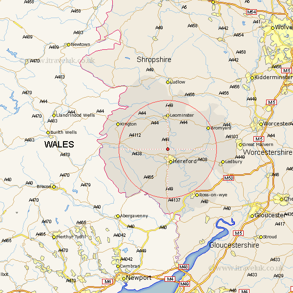
Herefordshire Map Showing Location of Moreton On Lugg
Population: 952
Easting: 349773 Northing: 244928
Latitude: 52.1 Longitude: -2.73
 = Moreton On Lugg
Easting: 349773 Northing: 244928
Latitude: 52.1 Longitude: -2.73
= Moreton On Lugg
This Moreton On Lugg map below is supplied by Google. Use the tools in the top left corner to zoom into street level or zoom out for a road map, you may also need to zoom in to see Moreton On Lugg on the map. Click and drag the map to move around. If the map fails to load try and refresh your browser or zoom in or out (+ or -).
Update - it seems Google no longer allow people to use their maps for free! This Moreton On Lugg map sometimes loads and sometimes gives a error. I am working on a solution.
Closest 30 Towns or Cities to Moreton On Lugg (Population over 500)
Burghill 2.28km Sutton 3.42km Wellington 3.87km Credenhill 4.55km Hereford 5.68km Bodenham 6.52km Lugwardine 6.79km Withington 6.83km Bullingham 7.5km Mordiford 8.81km Allensmore 9.87km Madley 10.89km Kingstone 11.51km Weobley 11.74km Dilwyn 12.98km Much Dewchurch 13.03km Fownhope 14.38km Leominster 14.82km Much Birch 14.87km Eardisland 15.22km Peterchurch 16.56km Pembridge 17.25km Kingsland 17.29km Almeley 17.95km Bromyard 18.42km Luston 18.57km Eardisley 18.58km Shobdon 19km Bosbury 19.45km Much Marcle 19.45km