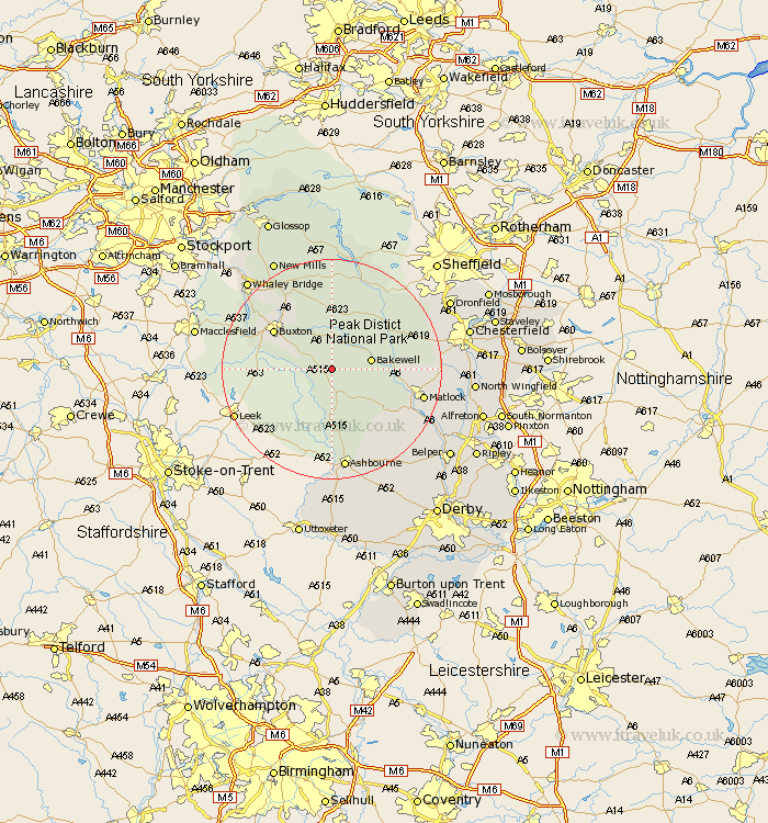
Derbyshire Map Showing Location of Monyash
Population: 294
District: Derbyshire Dales
Easting: 415590 Northing: 365190
Latitude: 53.18 Longitude: -1.77
 = Monyash
District: Derbyshire Dales
Easting: 415590 Northing: 365190
Latitude: 53.18 Longitude: -1.77
= Monyash
This Monyash map below is supplied by Google. Use the tools in the top left corner to zoom into street level or zoom out for a road map, you may also need to zoom in to see Monyash on the map. Click and drag the map to move around. If the map fails to load try and refresh your browser or zoom in or out (+ or -).
Update - it seems Google no longer allow people to use their maps for free! This Monyash map sometimes loads and sometimes gives a error. I am working on a solution.
Closest 30 Towns or Cities to Monyash (Population over 500)
Middleton 3.81km Youlgreave 4.81km Bakewell 6.92km Great Longstone 7.12km Longstone 7.12km Tideswell 9.27km Winster 9.56km Darley Dale 11.26km Baslow 11.43km Stoney Middleton 12.1km Stony Middleton 12.1km Buxton 12.44km Eyam 12.96km Brassington 13.57km Grindleford 14.23km Grindleford Bridge 14.23km Bonsall 14.29km Bradwell 14.88km Cromford 16.24km Matlock 16.52km Matlock Bath 16.54km Castleton 16.68km Hathersage 16.74km Chapel en le Frith 17.28km Wirksworth 17.37km Tansley 17.57km Hope 18.57km Brampton 18.61km Old Brampton 18.61km Ashbourne 18.66km