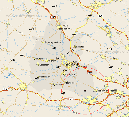
Oxfordshire Map Showing Location of Checkendon
Population: 479
District: South Oxfordshire
Easting: 467043 Northing: 182095
Latitude: 51.53 Longitude: -1.03
 = Checkendon
District: South Oxfordshire
Easting: 467043 Northing: 182095
Latitude: 51.53 Longitude: -1.03
= Checkendon
This Checkendon map below is supplied by Google. Use the tools in the top left corner to zoom into street level or zoom out for a road map, you may also need to zoom in to see Checkendon on the map. Click and drag the map to move around. If the map fails to load try and refresh your browser or zoom in or out (+ or -).
Update - it seems Google no longer allow people to use their maps for free! This Checkendon map sometimes loads and sometimes gives a error. I am working on a solution.
Closest 30 Towns or Cities to Checkendon (Population over 500)
Nuffield 3.71km Rotherfield Peppard 4.61km Nettlebed 5.07km Bix 6.05km Whitchurch 6.55km Goring 7.16km Ewelme 7.77km Moulsford 8.07km Cholsey 8.88km Henley on Thames 9.22km Henley-on-Thames 9.22km Harpsden 9.41km Wallingford 10.14km Shiplake 10.77km Watlington 11.36km Warborough 11.57km Benson 12.53km Chalgrove 13.43km Blewbury 13.96km Dorchester 14.44km Drayton Saint Leonard 14.7km Drayton 14.7km Drayton St. Leonard 14.7km Drayton St Leonard 14.7km East Hagbourne 14.9km Hagbourne 14.9km Lewknor 15.53km Aston Rowant 15.91km Chilton 16.24km Stadhampton 16.36km