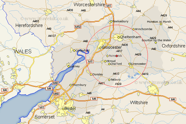
Gloucestershire Map Showing Location of Miserden
Population: 420
District: Stroud
Easting: 393102 Northing: 209459
Latitude: 51.78 Longitude: -2.1
 = Miserden
District: Stroud
Easting: 393102 Northing: 209459
Latitude: 51.78 Longitude: -2.1
= Miserden
This Miserden map below is supplied by Google. Use the tools in the top left corner to zoom into street level or zoom out for a road map, you may also need to zoom in to see Miserden on the map. Click and drag the map to move around. If the map fails to load try and refresh your browser or zoom in or out (+ or -).
Update - it seems Google no longer allow people to use their maps for free! This Miserden map sometimes loads and sometimes gives a error. I am working on a solution.
Closest 30 Towns or Cities to Miserden (Population over 500)
Painswick 5.73km Chalford 7.21km Stroud 7.82km Brockworth 8.72km Leckhampton 9.34km Shurdington 9.34km North Cerney 9.36km Hucclecote 9.37km Charlton Kings 9.55km Cirencester 9.77km Cicester 9.77km Minchinhampton 10.34km Randwick 10.48km Withington 11.71km Gloucester 11.72km Woodchester 11.79km Churchdown 12.03km Avening 12.03km Chedworth 12.74km Cheltenham 13.03km Innsworth 13.07km Nailsworth 13.08km Quedgeley 13.14km Stonehouse 13.15km Andoversford 13.87km Hardwicke 14.25km Horsley 14.42km Siddington 15.18km Staverton 15.52km Swindon 16.68km