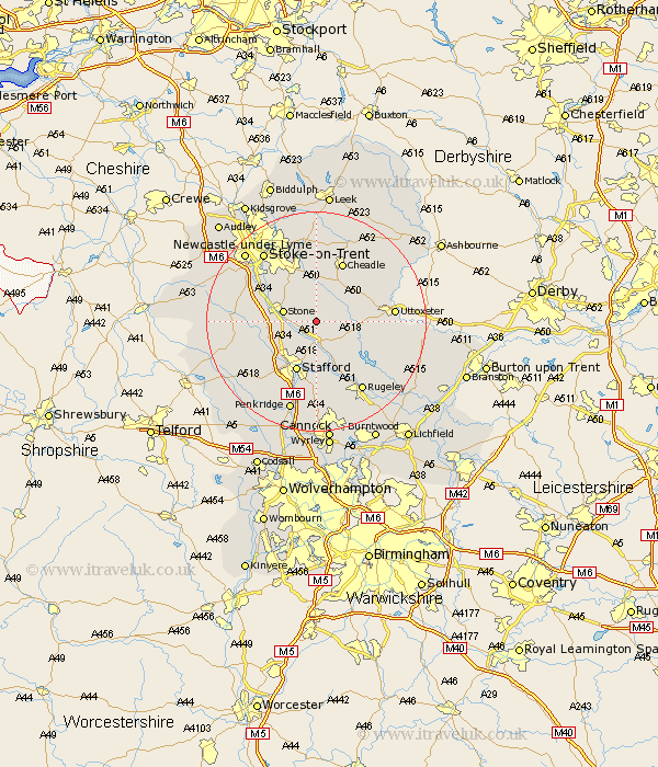
Staffordshire Map Showing Location of Milwich
Population: 382
District: Stafford
Easting: 396635 Northing: 331796
Latitude: 52.88 Longitude: -2.05
 = Milwich
District: Stafford
Easting: 396635 Northing: 331796
Latitude: 52.88 Longitude: -2.05
= Milwich
This Milwich map below is supplied by Google. Use the tools in the top left corner to zoom into street level or zoom out for a road map, you may also need to zoom in to see Milwich on the map. Click and drag the map to move around. If the map fails to load try and refresh your browser or zoom in or out (+ or -).
Update - it seems Google no longer allow people to use their maps for free! This Milwich map sometimes loads and sometimes gives a error. I am working on a solution.
Closest 30 Towns or Cities to Milwich (Population over 500)
Hilderstone 4.34km Stone 5.89km Weston upon Trent 5.99km Weston 5.99km Hopton 6.49km Church Leigh 6.71km Leigh 6.71km Fulford 7.5km Checkley 8.71km Draycott in the Moors 9.34km Draycott 9.34km Stafford 9.85km Barlaston 10.78km Caverswall 11.18km Seighford 11.62km Swinnerton 11.78km Swynnerton 11.78km Cheadle 11.98km Colwich 11.99km Bednall 13.01km Abbots Bromley 13.42km Uttoxeter 13.55km Eccleshall 13.93km Alton 14.52km Haughton 15.01km Rugeley 15.15km Kingsley 15.49km Oakamoor 15.75km Stoke 15.76km Stoke upon Trent 15.76km