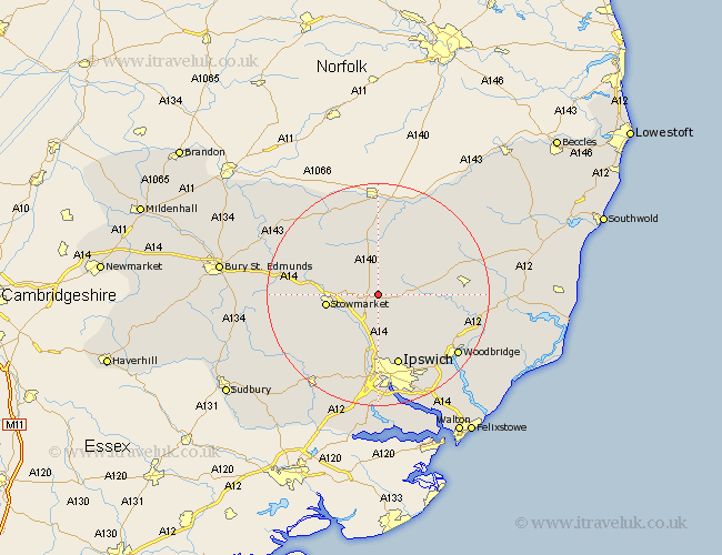
Suffolk Map Showing Location of Mickfield
Population: 188
District: Mid Suffolk
Easting: 612959 Northing: 260375
Latitude: 52.2 Longitude: 1.12
 = Mickfield
District: Mid Suffolk
Easting: 612959 Northing: 260375
Latitude: 52.2 Longitude: 1.12
= Mickfield
This Mickfield map below is supplied by Google. Use the tools in the top left corner to zoom into street level or zoom out for a road map, you may also need to zoom in to see Mickfield on the map. Click and drag the map to move around. If the map fails to load try and refresh your browser or zoom in or out (+ or -).
Update - it seems Google no longer allow people to use their maps for free! This Mickfield map sometimes loads and sometimes gives a error. I am working on a solution.
Closest 30 Towns or Cities to Mickfield (Population over 500)
Debenham 4.91km Mendlesham 6.52km Old Newton 7.06km Coddenham 7.42km Haughley 9.27km Stowmarket 9.28km Thorndon 9.33km Henley 9.54km Otley 9.7km Bacton 10.07km Great Blakenham 11.18km Worlingworth 11.72km Ringshall 11.73km Gislingham 12.01km Wirnesham 12.01km Witnesham 12.01km Somersham 12.01km Claydon 12.98km Great Bricett 12.98km Finborough 13.04km Great Finborough 13.04km Eye 13.17km Ipswich 13.42km Elmswell 14.12km Grundisburgh 14.37km Dennington 14.52km Bramford 14.87km Framlingham 14.88km Woolpit 14.88km Rattlesden 16.01km