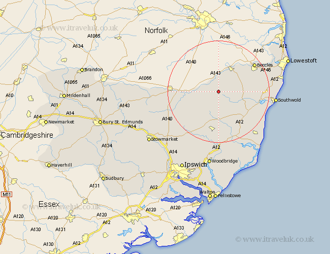
Suffolk Map Showing Location of Metfield
Population: 342
District: Mid Suffolk
Easting: 629174 Northing: 279671
Latitude: 52.37 Longitude: 1.37
 = Metfield
District: Mid Suffolk
Easting: 629174 Northing: 279671
Latitude: 52.37 Longitude: 1.37
= Metfield
This Metfield map below is supplied by Google. Use the tools in the top left corner to zoom into street level or zoom out for a road map, you may also need to zoom in to see Metfield on the map. Click and drag the map to move around. If the map fails to load try and refresh your browser or zoom in or out (+ or -).
Update - it seems Google no longer allow people to use their maps for free! This Metfield map sometimes loads and sometimes gives a error. I am working on a solution.
Closest 30 Towns or Cities to Metfield (Population over 500)
Fressingfield 4.89km Laxfield 7.42km Cookley 7.93km Stradbroke 8.78km Halesworth 9.24km Holton 10.84km Bungay 10.85km Hoxne 11.47km Dennington 12.01km Wenhaston 13.64km Worlingworth 13.66km Yoxford 15.09km Eye 15.73km Framlingham 16.83km Wangford 17.08km Worlingham 17.37km Beccles 17.54km Thorndon 18.37km Saxmundham 18.98km Reydon 20.46km Debenham 20.82km Wrentham 21.58km Wortham 21.58km Southwold 21.83km Snape 22.32km Gislingham 22.76km Leiston 22.99km Botesdale 24.06km Wickham Market 24.1km Mendlesham 24.17km