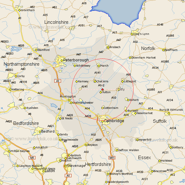
Cambridgeshire Map Showing Location of Mepal
Population: 921
District: East Cambridgeshire
Easting: 543989 Northing: 280148
Latitude: 52.4 Longitude: 0.12
 = Mepal
District: East Cambridgeshire
Easting: 543989 Northing: 280148
Latitude: 52.4 Longitude: 0.12
= Mepal
This Mepal map below is supplied by Google. Use the tools in the top left corner to zoom into street level or zoom out for a road map, you may also need to zoom in to see Mepal on the map. Click and drag the map to move around. If the map fails to load try and refresh your browser or zoom in or out (+ or -).
Update - it seems Google no longer allow people to use their maps for free! This Mepal map sometimes loads and sometimes gives a error. I am working on a solution.
Closest 30 Towns or Cities to Mepal (Population over 500)
Mepal 0km Sutton 2.17km Witchford 5.95km Haddenham 6km Wilburton 6.51km Chatteris 7.16km Stretham 7.73km Colne 7.73km Somersham 8.13km Earith 8.77km Bluntisham 8.77km Downham 9.77km Doddington 9.86km Willingham 9.87km Ely 10.18km Manea 10.31km Over 11.49km Wimblington 11.62km Warboys 12.44km Needingworth 12.95km Cottenham 12.97km Littleport 13.62km Swavesey 13.65km Long Stanton 13.74km Wistow 14.7km Bury 14.81km Oakington 15.21km Wicken 16.69km Fen Stanton 16.69km Saint Ives 16.69km