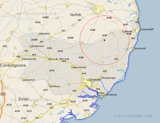
Suffolk Map Showing Location of Mendham
Population: 431
District: Mid Suffolk
Easting: 627868 Northing: 283321
Latitude: 52.4 Longitude: 1.35
 = Mendham
District: Mid Suffolk
Easting: 627868 Northing: 283321
Latitude: 52.4 Longitude: 1.35
= Mendham
This Mendham map below is supplied by Google. Use the tools in the top left corner to zoom into street level or zoom out for a road map, you may also need to zoom in to see Mendham on the map. Click and drag the map to move around. If the map fails to load try and refresh your browser or zoom in or out (+ or -).
Update - it seems Google no longer allow people to use their maps for free! This Mendham map sometimes loads and sometimes gives a error. I am working on a solution.
Closest 30 Towns or Cities to Mendham (Population over 500)
Fressingfield 6.51km Bungay 8.77km Stradbroke 10.86km Laxfield 11.18km Cookley 11.49km Hoxne 11.6km Halesworth 11.6km Holton 13.53km Dennington 15.21km Worlingworth 16.31km Eye 16.44km Wenhaston 16.44km Beccles 16.45km Worlingham 16.77km Yoxford 18.65km Wangford 18.94km Thorndon 19.62km Framlingham 20.41km Wortham 21.11km Reydon 22.2km Wrentham 22.7km Saxmundham 22.79km Gislingham 23.21km Debenham 23.32km Botesdale 23.82km Southwold 23.82km Redgrave 24.04km Carlton Colville 24.38km Kessingland 24.94km Gisleham 25.14km