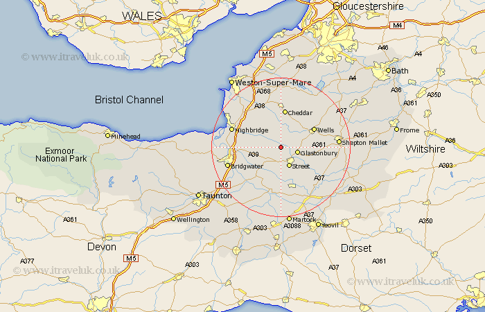
Somerset Map Showing Location of Meare
Population: 1238
District: Mendip
Easting: 345236 Northing: 141177
Latitude: 51.17 Longitude: -2.78
 = Meare
District: Mendip
Easting: 345236 Northing: 141177
Latitude: 51.17 Longitude: -2.78
= Meare
This Meare map below is supplied by Google. Use the tools in the top left corner to zoom into street level or zoom out for a road map, you may also need to zoom in to see Meare on the map. Click and drag the map to move around. If the map fails to load try and refresh your browser or zoom in or out (+ or -).
Update - it seems Google no longer allow people to use their maps for free! This Meare map sometimes loads and sometimes gives a error. I am working on a solution.
Closest 30 Towns or Cities to Meare (Population over 500)
Ashcott 3.89km Glastonbury 4.88km Shapwick 5.09km Walton 5.68km Wedmore 6.03km Street 6.03km Wookey 7.89km Westbury 8.74km Compton 8.75km Priddy 9.34km West Pennard 9.48km Cossington 9.48km Mark 9.85km Rodney Stoke 9.9km Butleigh 10.18km Wells 10.83km Baltonsborough 10.84km Middlezoy 11.01km Cheddar 11.18km High Ham 11.36km Othery 11.61km Weare 11.65km Weston Zoyland 11.85km Barton St. David 11.9km Barton Saint David 11.9km Barton St David 11.9km Puriton 12.78km Axbridge 13.02km Somerton 13.18km Charlton Mackrell 13.78km