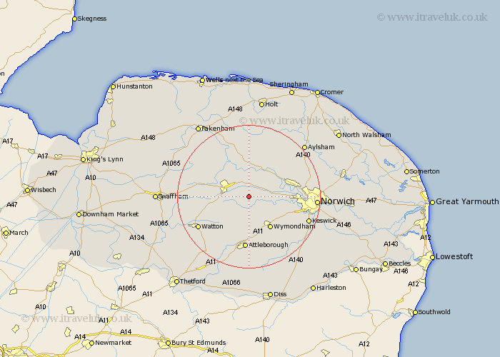
Norfolk Map Showing Location of Mattishall
Population: 2471
Area Size (ha): 74
District: Breckland
Easting: 605165 Northing: 310165
Latitude: 52.65 Longitude: 1.03
 = Mattishall
Area Size (ha): 74
District: Breckland
Easting: 605165 Northing: 310165
Latitude: 52.65 Longitude: 1.03
= Mattishall
This Mattishall map below is supplied by Google. Use the tools in the top left corner to zoom into street level or zoom out for a road map, you may also need to zoom in to see Mattishall on the map. Click and drag the map to move around. If the map fails to load try and refresh your browser or zoom in or out (+ or -).
Update - it seems Google no longer allow people to use their maps for free! This Mattishall map sometimes loads and sometimes gives a error. I am working on a solution.
Closest 30 Towns or Cities to Mattishall (Population over 500)
Hockering 2.92km Yaxham 4.5km Dereham 7.69km East Dereham 7.69km Lyng 7.75km Hingham 8.15km Bawdeswell 9.26km Shipdham 9.73km Taverham 10.29km Beetley 10.81km Witchingham 10.83km North Elmham 10.83km Wymondham 10.84km Hethersett 11.55km Costessey 12.37km Reepham 12.46km Drayton 12.5km Carbrooke 12.55km Carbooke 12.55km Great Ellingham 13.74km Hellesdon 14.74km Besthorpe 14.82km Foulham 14.86km Foulsham 14.86km Attleborough 14.87km Horsford 15.07km Rockland St Peter 15.18km Rockland St. Peter 15.18km Rockland Saint Peter 15.18km Rockland 15.18km