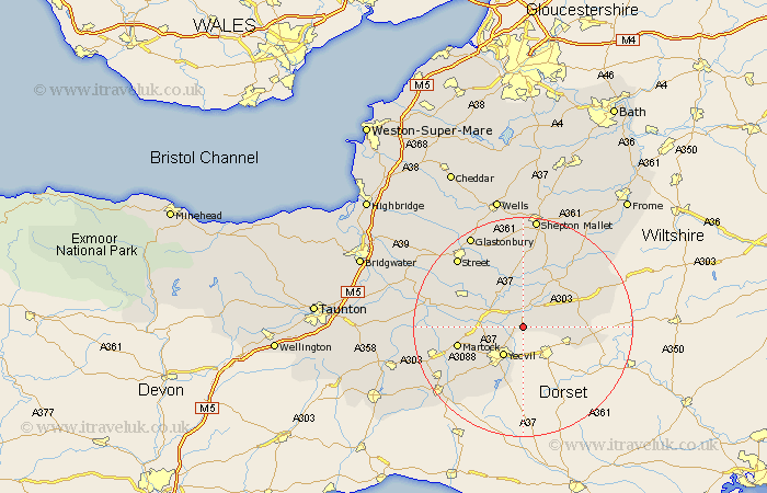
Somerset Map Showing Location of Marston Magna
Population: 446
District: South Somerset
Easting: 359072 Northing: 122511
Latitude: 51 Longitude: -2.58
 = Marston Magna
District: South Somerset
Easting: 359072 Northing: 122511
Latitude: 51 Longitude: -2.58
= Marston Magna
This Marston Magna map below is supplied by Google. Use the tools in the top left corner to zoom into street level or zoom out for a road map, you may also need to zoom in to see Marston Magna on the map. Click and drag the map to move around. If the map fails to load try and refresh your browser or zoom in or out (+ or -).
Update - it seems Google no longer allow people to use their maps for free! This Marston Magna map sometimes loads and sometimes gives a error. I am working on a solution.
Closest 30 Towns or Cities to Marston Magna (Population over 500)
Queen Camel 1.86km Mudford 2.98km Sparkford 3.88km Yeovilton 5.83km North Cadbury 5.95km Yeovil 6.57km Ilchester 7km Milborne Port 8.97km Charlton Mackrell 9.43km Tintinhull 10.04km Castle Cary 10.37km Montacute 10.87km West Coker 11.61km Barton Saint David 12.06km Barton St. David 12.06km Barton St David 12.06km Martock 12.24km Somerton 12.92km Long Sutton 12.96km Butleigh 13.13km Henstridge 13.36km Ditcheat 13.44km Baltonsborough 13.79km Compton 14.51km West Chinnock 14.9km Kingsbury Episcopi 15.28km Kingsbury 15.28km Redlynch 15.28km Bruton 15.28km Wincanton 15.81km