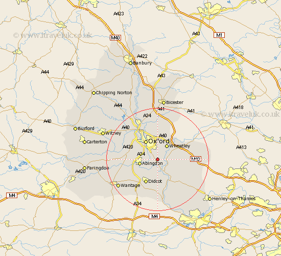
Oxfordshire Map Showing Location of Marsh Baldon
Population: 289
District: South Oxfordshire
Easting: 456453 Northing: 198649
Latitude: 51.68 Longitude: -1.18
 = Marsh Baldon
District: South Oxfordshire
Easting: 456453 Northing: 198649
Latitude: 51.68 Longitude: -1.18
= Marsh Baldon
This Marsh Baldon map below is supplied by Google. Use the tools in the top left corner to zoom into street level or zoom out for a road map, you may also need to zoom in to see Marsh Baldon on the map. Click and drag the map to move around. If the map fails to load try and refresh your browser or zoom in or out (+ or -).
Update - it seems Google no longer allow people to use their maps for free! This Marsh Baldon map sometimes loads and sometimes gives a error. I am working on a solution.
Closest 30 Towns or Cities to Marsh Baldon (Population over 500)
Garsington 2.95km Radley 3.45km Clifton Hampden 3.88km Stadhampton 3.91km Littlemore 4.37km Drayton St. Leonard 5.06km Drayton Saint Leonard 5.06km Drayton St Leonard 5.06km Drayton 5.06km Cuddesdon 5.07km Dorchester 5.68km Wheatley 6.54km Long Wittenham 6.54km Sunningwell 6.89km Abingdon 7.14km Abingdon-on-Thames 7.14km Abingdon on Thames 7.14km Benson 7.21km Chalgrove 7.83km Milton 7.83km Great Milton 7.83km Sutton Courtenay 8km Warborough 8.17km Wootton 8.25km Great Haseley 8.25km Oxford 8.72km North Hinksey 8.85km Tiddington 9.77km Drayton 9.78km Wallingford 9.88km