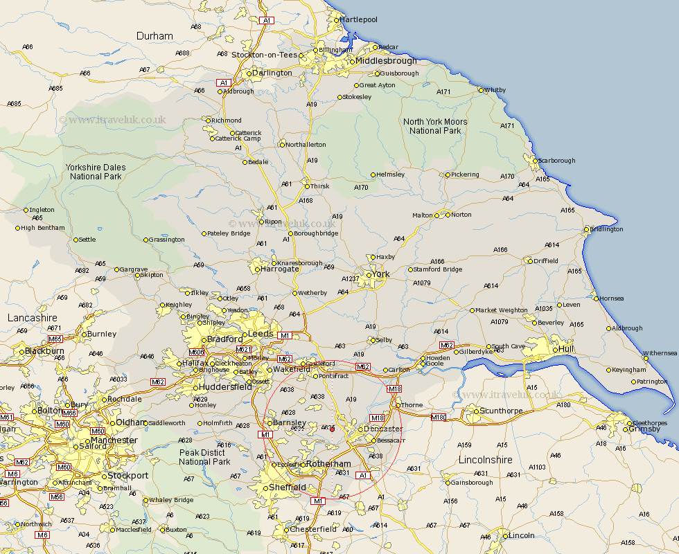
Yorkshire Map Showing Location of Marr
Population: 138
District: Doncaster
Easting: 450809 Northing: 404372
Latitude: 53.53 Longitude: -1.23
 = Marr
District: Doncaster
Easting: 450809 Northing: 404372
Latitude: 53.53 Longitude: -1.23
= Marr
This Marr map below is supplied by Google. Use the tools in the top left corner to zoom into street level or zoom out for a road map, you may also need to zoom in to see Marr on the map. Click and drag the map to move around. If the map fails to load try and refresh your browser or zoom in or out (+ or -).
Update - it seems Google no longer allow people to use their maps for free! This Marr map sometimes loads and sometimes gives a error. I am working on a solution.
Closest 30 Towns or Cities to Marr (Population over 500)
Brodsworth 2.88km Sprotboro 4.31km Sprotbrough 4.31km Dearne 4.41km Warmsworth 4.96km Carcroft 4.97km Adwick le Street 4.97km Bentley 5.51km Mexborough 5.98km South Elmsall 6.47km South Kirkby 6.79km Moorthorpe 7.09km Conisborough 7.49km Conisbrough 7.49km Doncaster 7.71km Swinton 7.83km Great Houghton 7.93km Houghton 7.93km Wath upon Dearne 8.56km Wath on Dearne 8.56km Wath-on-Dearne 8.56km Wath 8.56km Sutton 8.62km Little Houghton 9km Wadworth 9.23km Wadsworth 9.23km North Elmsall 9.34km Upton 9.84km Campsall 9.84km Darsfield 9.91km