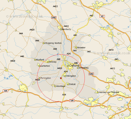
Oxfordshire Map Showing Location of Marcham
Population: 1873
Area Size (ha): 45
District: Vale of White Horse
Easting: 446118 Northing: 194840
Latitude: 51.65 Longitude: -1.33
 = Marcham
Area Size (ha): 45
District: Vale of White Horse
Easting: 446118 Northing: 194840
Latitude: 51.65 Longitude: -1.33
= Marcham
This Marcham map below is supplied by Google. Use the tools in the top left corner to zoom into street level or zoom out for a road map, you may also need to zoom in to see Marcham on the map. Click and drag the map to move around. If the map fails to load try and refresh your browser or zoom in or out (+ or -).
Update - it seems Google no longer allow people to use their maps for free! This Marcham map sometimes loads and sometimes gives a error. I am working on a solution.
Closest 30 Towns or Cities to Marcham (Population over 500)
Drayton 2.96km Steventon 3.88km Abingdon 3.92km Abingdon-on-Thames 3.92km Abingdon on Thames 3.92km Milton 4.36km Sutton Courtenay 4.96km Sunningwell 5.06km East Hanney 5.91km Hanney 5.91km Wootton 6.02km Kingston Bagpuize 6.04km Kingston Bagpuze 6.04km Harwell 6.54km Long Wittenham 7.15km Cumnor 7.42km Longworth 7.83km Radley 7.83km Didcot 8km Wantage 8.73km Clifton Hampden 9.2km Standlake 9.38km North Hinksey 9.88km Hagbourne 10.13km East Hagbourne 10.13km Stanton Harcourt 10.34km Littlemore 10.94km East Challow 10.95km Buckland 11.65km Dorchester 11.65km