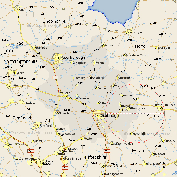
Cambridgeshire Map Showing Location of Cheveley
Population: 1912
District: East Cambridgeshire
Easting: 568490 Northing: 260517
Latitude: 52.22 Longitude: 0.47
 = Cheveley
District: East Cambridgeshire
Easting: 568490 Northing: 260517
Latitude: 52.22 Longitude: 0.47
= Cheveley
This Cheveley map below is supplied by Google. Use the tools in the top left corner to zoom into street level or zoom out for a road map, you may also need to zoom in to see Cheveley on the map. Click and drag the map to move around. If the map fails to load try and refresh your browser or zoom in or out (+ or -).
Update - it seems Google no longer allow people to use their maps for free! This Cheveley map sometimes loads and sometimes gives a error. I am working on a solution.
Closest 30 Towns or Cities to Cheveley (Population over 500)
Ashley 1.14km Stetchworth 4.91km Dullingham 7.06km Chippenham 9.54km Fordham 10.32km Burwell 10.65km Swaffham Prior 11.94km Swaffham Bulbeck 12.62km Isleham 13.41km Bottisham 13.63km Balsham 13.8km Wicken 14.65km Soham 15.21km Great Wilbraham 15.23km Wilbraham 15.23km Fulbourne 17.44km Fulbourn 17.44km Linton 18.83km Teversham 19.4km Waterbeach 19.65km Castle Camps 19.75km Castle Camp 19.75km Milton 21.65km Sawston 23.29km Stretham 23.82km Cambridge 23.92km Whittlesford 24.29km Ely 24.5km Shelford 24.55km Cottenham 24.95km