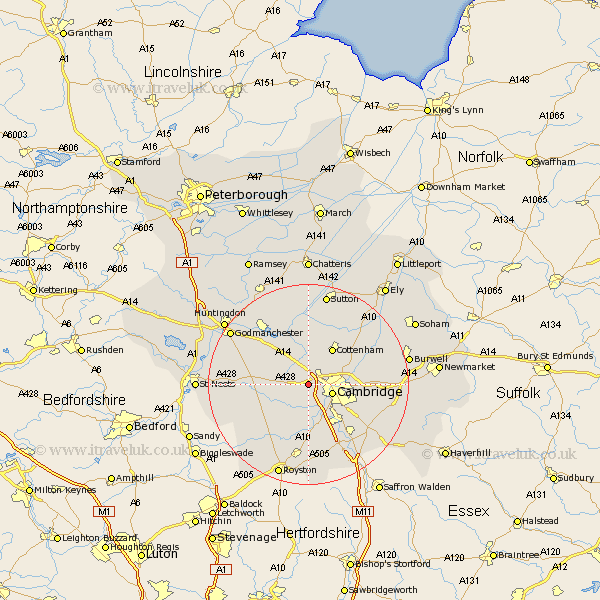
Cambridgeshire Map Showing Location of Madingley
Population: 206
District: South Cambridgeshire
Easting: 540032 Northing: 259634
Latitude: 52.22 Longitude: 0.05
 = Madingley
District: South Cambridgeshire
Easting: 540032 Northing: 259634
Latitude: 52.22 Longitude: 0.05
= Madingley
This Madingley map below is supplied by Google. Use the tools in the top left corner to zoom into street level or zoom out for a road map, you may also need to zoom in to see Madingley on the map. Click and drag the map to move around. If the map fails to load try and refresh your browser or zoom in or out (+ or -).
Update - it seems Google no longer allow people to use their maps for free! This Madingley map sometimes loads and sometimes gives a error. I am working on a solution.
Closest 30 Towns or Cities to Madingley (Population over 500)
Dry Drayton 2.17km Coton 2.18km Girton 2.93km Hardwicke 2.93km Hardwick 2.93km Comberton 3.88km Cambridge 4.91km Histon 5.03km Oakington 5.67km Toft 5.87km Milton 7.06km Long Stanton 7.41km Needham Market 7.5km Bourn 7.76km Hauxton 8.16km Cottenham 8.69km Elsworth 8.77km Haslingfield 9.27km Teversham 9.27km Harston 9.55km Waterbeach 9.81km Swavesey 9.87km Orwell 10.33km Shelford 10.88km Shepreth 11.12km Willingham 11.18km Barrington 11.18km Foxton 11.18km Over 11.35km Papworth Everard 11.5km