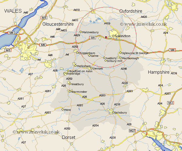
Wiltshire Map Showing Location of Lydiard Tregoze
Population: 460
District: North Wiltshire
Easting: 410399 Northing: 183520
Latitude: 51.55 Longitude: -1.85
 = Lydiard Tregoze
District: North Wiltshire
Easting: 410399 Northing: 183520
Latitude: 51.55 Longitude: -1.85
= Lydiard Tregoze
This Lydiard Tregoze map below is supplied by Google. Use the tools in the top left corner to zoom into street level or zoom out for a road map, you may also need to zoom in to see Lydiard Tregoze on the map. Click and drag the map to move around. If the map fails to load try and refresh your browser or zoom in or out (+ or -).
Update - it seems Google no longer allow people to use their maps for free! This Lydiard Tregoze map sometimes loads and sometimes gives a error. I am working on a solution.
Closest 30 Towns or Cities to Lydiard Tregoze (Population over 500)
Lydiard Millicent 2.19km Purton 3.88km Wooton Bassett 3.92km Wootton Bassett 3.92km Swindon 4.67km Wroughton 5.91km Blunsdon St Andrew 6.55km Blunsdon St. Andrew 6.55km Blunsdon Saint Andrew 6.55km Blunsdon 6.55km Broad Hinton 7.51km Broad Town 7.51km Stratton Saint Margaret 7.84km Stratton St. Margaret 7.84km Stratton St Margaret 7.84km Stratton 7.84km Lyneham 8.88km Brinkworth 9.22km Cricklade 9.26km Minety 10.14km Wanborough 10.54km Chiseldon 10.77km Ashton Keynes 10.91km Hilmarton 12.29km Hillmarton 12.29km Highworth 12.74km Christian Malford 14.91km Lea 15.09km Great Somerford 15.1km Somerford 15.1km