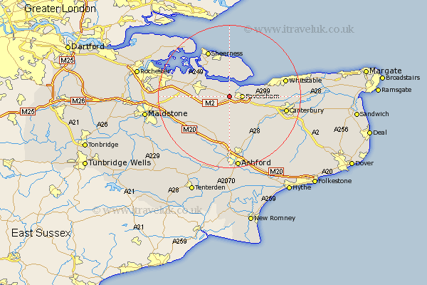
Kent Map Showing Location of Luddenham
Population: 107
District: Swale
Easting: 598581 Northing: 161423
Latitude: 51.32 Longitude: 0.85
 = Luddenham
District: Swale
Easting: 598581 Northing: 161423
Latitude: 51.32 Longitude: 0.85
= Luddenham
This Luddenham map below is supplied by Google. Use the tools in the top left corner to zoom into street level or zoom out for a road map, you may also need to zoom in to see Luddenham on the map. Click and drag the map to move around. If the map fails to load try and refresh your browser or zoom in or out (+ or -).
Update - it seems Google no longer allow people to use their maps for free! This Luddenham map sometimes loads and sometimes gives a error. I am working on a solution.
Closest 30 Towns or Cities to Luddenham (Population over 500)
Ospringe 2.19km Oare 2.32km Teynham 2.96km Faversham 3.48km Linsted 4.99km Lynsted 4.99km Bapchild 5.79km Sittingbourne 7.19km Selling 7.24km Doddington 8.03km Tunstall 9.27km Eastchurch 9.33km Iwade 9.83km Warden 9.89km Dunkirk 9.99km Leysdown 10.36km Leysdown on Sea 10.36km Leysdown-on-Sea 10.36km Borden 10.42km Bredgar 10.59km Bobbing 11.06km Minster 11.36km Chilham 12.32km Queenborough 12.53km Lenham 13.12km Newington 13.26km Harbledown 13.28km Charing 13.44km Chartham 13.76km Lower Halstow 13.89km