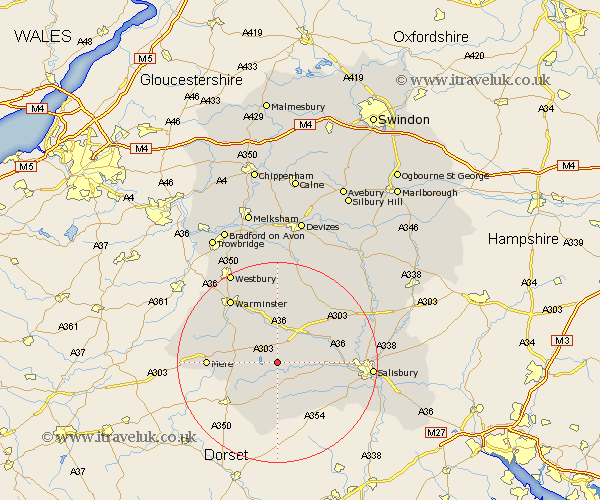
Wiltshire Map Showing Location of Chilmark
Population: 432
District: Salisbury
Easting: 396498 Northing: 131613
Latitude: 51.08 Longitude: -2.05
 = Chilmark
District: Salisbury
Easting: 396498 Northing: 131613
Latitude: 51.08 Longitude: -2.05
= Chilmark
This Chilmark map below is supplied by Google. Use the tools in the top left corner to zoom into street level or zoom out for a road map, you may also need to zoom in to see Chilmark on the map. Click and drag the map to move around. If the map fails to load try and refresh your browser or zoom in or out (+ or -).
Update - it seems Google no longer allow people to use their maps for free! This Chilmark map sometimes loads and sometimes gives a error. I am working on a solution.
Closest 30 Towns or Cities to Chilmark (Population over 500)
Tisbury 2.97km Dinton 4.66km Fovant 5.09km Hindon 6.11km Codford 7.42km East Knoyle 8.36km Bishop's Knoyle 8.36km Semley 8.93km Longford 9.86km Steeple Langford 9.86km Broad Chalke 11.02km Heytesbury 12.05km Wilton 12.81km Bishopstone 12.84km South Newton 12.94km Mere 13.97km Longbridge Deverill 13.99km Combebissett 15.04km Coombe Bissett 15.04km Shrewton 15.27km Warminster 15.97km Zeals 18.72km Zeal 18.72km Salisbury 18.72km New Sarum 18.72km West Lavington 18.86km Odstock 19.45km Dilton 19.69km Lark Hill 19.72km Corsley 20.36km