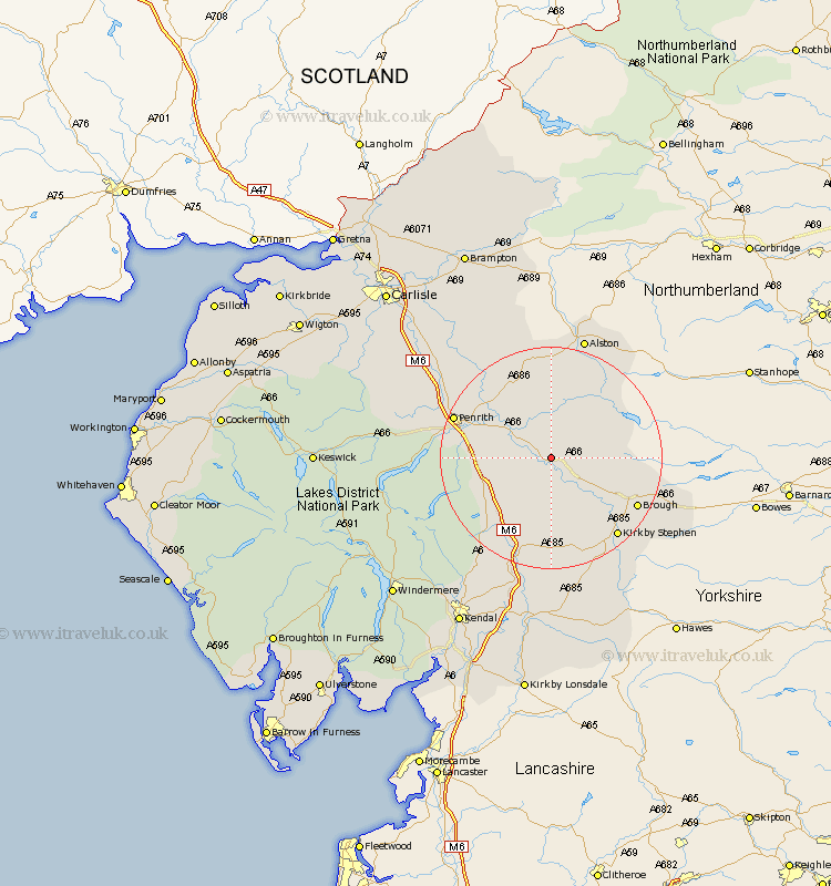
Cumbria Map Showing Location of Long Marton
Population: 704
District: Eden
Easting: 366624 Northing: 522894
Latitude: 54.6 Longitude: -2.52
 = Long Marton
District: Eden
Easting: 366624 Northing: 522894
Latitude: 54.6 Longitude: -2.52
= Long Marton
This Long Marton map below is supplied by Google. Use the tools in the top left corner to zoom into street level or zoom out for a road map, you may also need to zoom in to see Long Marton on the map. Click and drag the map to move around. If the map fails to load try and refresh your browser or zoom in or out (+ or -).
Update - it seems Google no longer allow people to use their maps for free! This Long Marton map sometimes loads and sometimes gives a error. I am working on a solution.
Closest 30 Towns or Cities to Long Marton (Population over 500)
Kirkby Thore 2.84km Appleby 4.28km Culgaith 7.73km Crosby Ravensworth 10.21km Langwathby 13.38km Shap 13.39km Orton 15.17km Brough 16.76km Kirkby Stephen 18.31km Lazonby 18.94km Lasonby 18.94km Dacre 20.48km Tebay 20.83km Ravenstonedale 21.38km Kirkoswald 21.96km Greystoke 23.21km Skelton 25.11km Ainstable 26.24km Millthrop 31.5km Milnthorpe 31.5km Sedbergh 31.5km Staveley 32.38km Kendall 34.93km Kendal 34.93km Wetheral 35.36km Hesket Newmarket 35.41km Ambleside 35.49km Hayton 36.56km Windermere 36.61km Farlam 36.8km