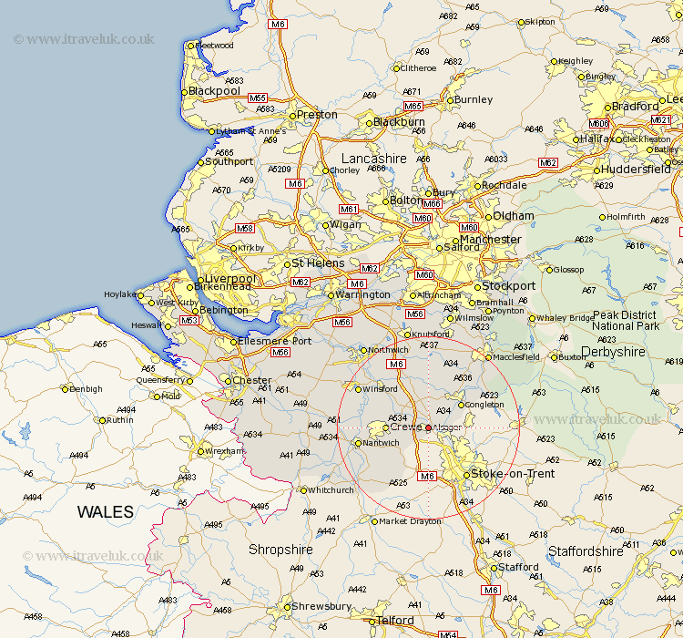
Cheshire Map Showing Location of Alsager
Population: 13585
Area Size (ha): 412
District: Congleton
Easting: 379915 Northing: 355941
Latitude: 53.1 Longitude: -2.3
 = Alsager
Area Size (ha): 412
District: Congleton
Easting: 379915 Northing: 355941
Latitude: 53.1 Longitude: -2.3
= Alsager
This Alsager map below is supplied by Google. Use the tools in the top left corner to zoom into street level or zoom out for a road map, you may also need to zoom in to see Alsager on the map. Click and drag the map to move around. If the map fails to load try and refresh your browser or zoom in or out (+ or -).
Update - it seems Google no longer allow people to use their maps for free! This Alsager map sometimes loads and sometimes gives a error. I am working on a solution.
Closest 30 Towns or Cities to Alsager (Population over 500)
Rode Heath 2.16km Sandbach 5.79km Brereton cum Smethwick 7.74km Brereton 7.74km Congleton 8.69km Crewe 8.9km Wistaston 11.28km Holmes Chapel 11.98km Wybunbury 12.47km Willaston 12.79km Middlewick 12.84km Middlewich 12.84km Nantwich 14.94km Goostrey 14.99km Gawsworth 15.73km Peover 17.01km Peover Superior 17.01km Winsford 17.17km Chelford 18.67km Audlem 19.45km Plumbley 20.1km Plumley Station 20.1km Macclesfield 20.68km Davenham 20.7km Alderley 20.86km Nether Alderley 20.86km Whitegate 21.12km Lostock Gralam 21.61km Little Budworth 22.05km Wrenbury cum Frith 22.08km