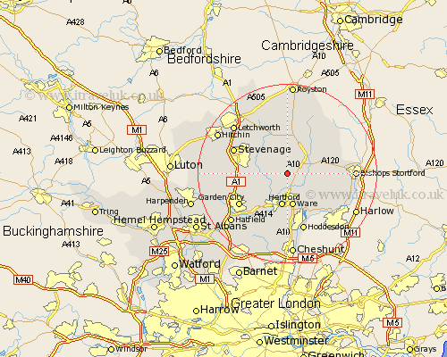
Hertfordshire Map Showing Location of Little Munden
Population: 923
District: East Hertfordshire
Easting: 534246 Northing: 220526
Latitude: 51.87 Longitude: -0.05
 = Little Munden
District: East Hertfordshire
Easting: 534246 Northing: 220526
Latitude: 51.87 Longitude: -0.05
= Little Munden
This Little Munden map below is supplied by Google. Use the tools in the top left corner to zoom into street level or zoom out for a road map, you may also need to zoom in to see Little Munden on the map. Click and drag the map to move around. If the map fails to load try and refresh your browser or zoom in or out (+ or -).
Update - it seems Google no longer allow people to use their maps for free! This Little Munden map sometimes loads and sometimes gives a error. I am working on a solution.
Closest 30 Towns or Cities to Little Munden (Population over 500)
Bennington 3.9km Benington 3.9km Watton at Stone 3.9km Watton 3.9km Thundridge 4.36km Stapleford 5.06km Braughing 5.89km Standon 6.01km Aston 7.11km Datchworth 7.11km Hertford 7.5km Ware 7.5km Cottered 7.75km Walkern 7.98km Widford 7.98km Harmer Green 8.32km Tewin 8.84km Little Hadham 9.34km Knebworth 9.34km Much Hadham 9.34km Little Amwell 9.34km Buntingford 9.54km Great Amwell 9.55km Albury 9.87km Hertingfordbury 9.89km Stanstead Abbots 10.34km Hormead 10.88km Welwyn 12.03km Weston 12.24km Graveley 12.68km