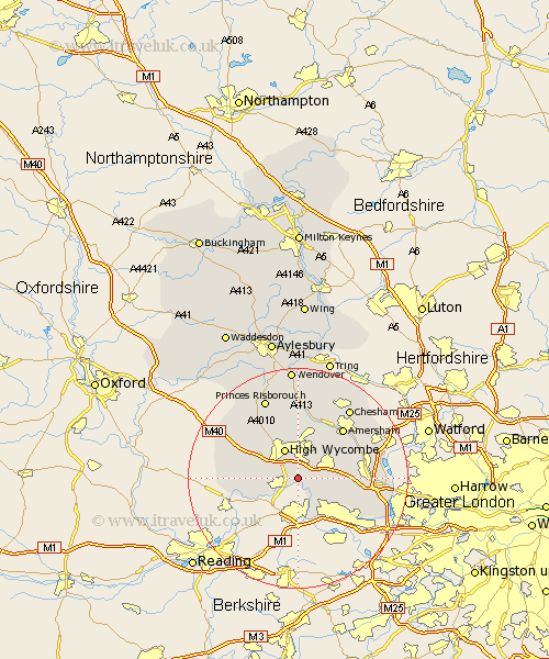
Buckinghamshire Map Showing Location of Little Marlow
Population: 1331
District: Wycombe
Easting: 487752 Northing: 187972
Latitude: 51.58 Longitude: -0.73
 = Little Marlow
District: Wycombe
Easting: 487752 Northing: 187972
Latitude: 51.58 Longitude: -0.73
= Little Marlow
This Little Marlow map below is supplied by Google. Use the tools in the top left corner to zoom into street level or zoom out for a road map, you may also need to zoom in to see Little Marlow on the map. Click and drag the map to move around. If the map fails to load try and refresh your browser or zoom in or out (+ or -).
Update - it seems Google no longer allow people to use their maps for free! This Little Marlow map sometimes loads and sometimes gives a error. I am working on a solution.
Closest 30 Towns or Cities to Little Marlow (Population over 500)
Great Marlow 2.95km Marlow 2.95km Bourne End 2.95km Flackwell Heath 2.96km Wooburn 3.92km Penn 5.07km High Wycombe 6.02km Wycombe 6.02km Chepping 6.02km Beaconsfield 7.15km West Wycombe 7.22km Hughenden 7.42km Hazlemere 7.77km Taplow 8.17km Bradenham 8.73km Medmenham 8.87km Burnham 9.38km Hambleden 9.4km Hedgerley 9.4km Farnham Royal 9.8km Lane End 9.93km Little Missenden 10.35km Dorney 10.91km Chalfont St. Giles 12.1km Chalfont Saint Giles 12.1km Chalfont St Giles 12.1km Amersham 12.28km Gerrards Cross 12.38km Chalfont St Peter 12.8km Chalfont Saint Peter 12.8km