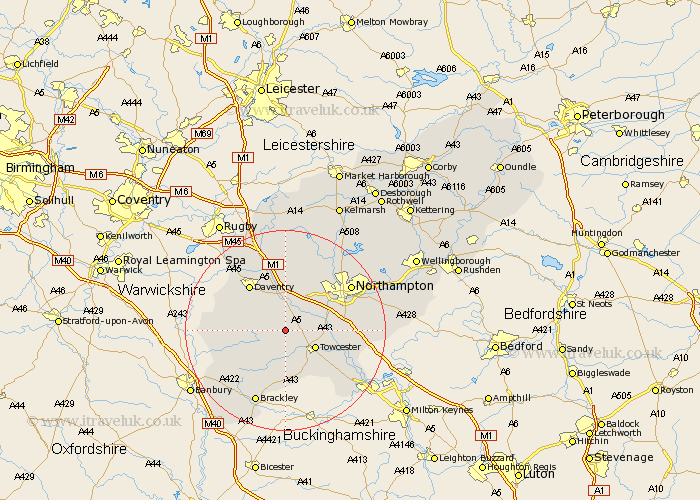
Northamptonshire Map Showing Location of Litchborough
Population: 300
District: South Northamptonshire
Easting: 463828 Northing: 252503
Latitude: 52.17 Longitude: -1.07
 = Litchborough
District: South Northamptonshire
Easting: 463828 Northing: 252503
Latitude: 52.17 Longitude: -1.07
= Litchborough
This Litchborough map below is supplied by Google. Use the tools in the top left corner to zoom into street level or zoom out for a road map, you may also need to zoom in to see Litchborough on the map. Click and drag the map to move around. If the map fails to load try and refresh your browser or zoom in or out (+ or -).
Update - it seems Google no longer allow people to use their maps for free! This Litchborough map sometimes loads and sometimes gives a error. I am working on a solution.
Closest 30 Towns or Cities to Litchborough (Population over 500)
Pattishall 3.41km Bugbrooke 5.03km Weedon 5.56km Weedon Beck 5.56km Towcester 6.79km Gayton 6.82km Flore 7.5km Kislingbury 8.8km Blisworth 9.09km Harpole 9.33km Badby 9.7km Silverstone 9.88km Helmdon 10.33km Milton 10.39km Whittlebury 10.88km Syresham 11.18km Byfield 11.37km Daventry 11.5km Collingtree 11.51km Wootton 12.64km Roade 12.64km Paulerspury 12.99km Hardingstone 13.04km Greatworth 13.68km Welton 14.15km Chipping Warden 14.74km Boddington 14.78km Upper Boddington 14.78km Long Buckby 14.82km East Haddon 15.21km