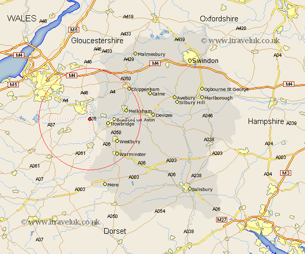
Wiltshire Map Showing Location of Limpley Stoke
Population: 637
District: West Wiltshire
Easting: 376780 Northing: 159464
Latitude: 51.33 Longitude: -2.33
 = Limpley Stoke
District: West Wiltshire
Easting: 376780 Northing: 159464
Latitude: 51.33 Longitude: -2.33
= Limpley Stoke
This Limpley Stoke map below is supplied by Google. Use the tools in the top left corner to zoom into street level or zoom out for a road map, you may also need to zoom in to see Limpley Stoke on the map. Click and drag the map to move around. If the map fails to load try and refresh your browser or zoom in or out (+ or -).
Update - it seems Google no longer allow people to use their maps for free! This Limpley Stoke map sometimes loads and sometimes gives a error. I am working on a solution.
Closest 30 Towns or Cities to Limpley Stoke (Population over 500)
Westwood 3.93km Trowbridge 7.19km Southwick 8.9km Bradford-on-Avon 9.26km Bradford on Avon 9.26km Holt 9.45km North Bradley 9.83km Hilperton 10.58km Whitley 10.73km Atworth 10.8km Box 10.93km Broughton Gifford 11.06km Colerne 12.04km Semington 12.87km Westbury 13.95km Corsley 14.2km Melksham 14.38km Steeple Ashton 14.38km Dilton 14.48km Corsham 16.04km Lacock 16.77km Laycock 16.77km Bratton 16.79km Seend 17.46km Edington 17.83km Warminster 18.13km Worton 18.62km Yatton Keynell 19.07km Nettleton 19.1km Erlestoke 19.35km