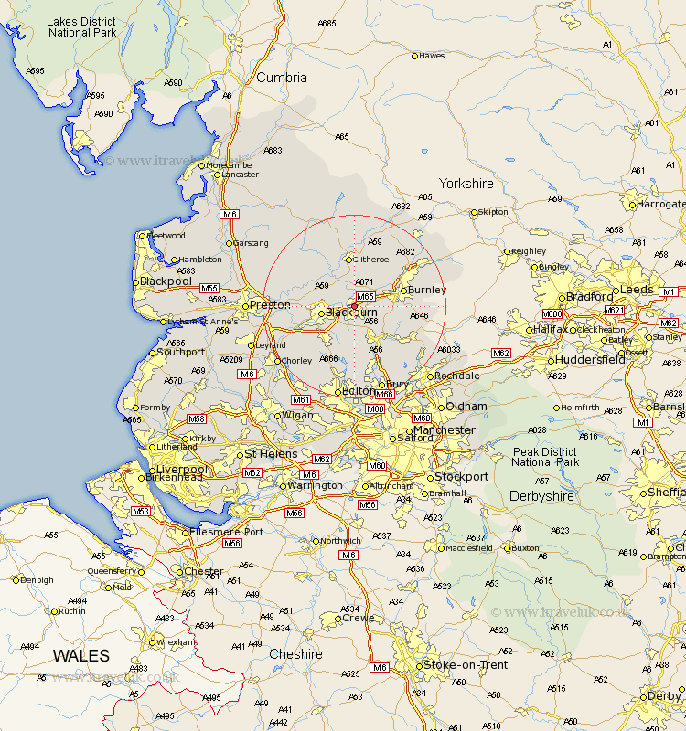
Lancashire Map Showing Location of Clayton Le Moors
Population: 6803
Area Size (ha): 169
District: Hyndburn
Easting: 374735 Northing: 430131
Latitude: 53.77 Longitude: -2.38
 = Clayton Le Moors
Area Size (ha): 169
District: Hyndburn
Easting: 374735 Northing: 430131
Latitude: 53.77 Longitude: -2.38
= Clayton Le Moors
This Clayton Le Moors map below is supplied by Google. Use the tools in the top left corner to zoom into street level or zoom out for a road map, you may also need to zoom in to see Clayton Le Moors on the map. Click and drag the map to move around. If the map fails to load try and refresh your browser or zoom in or out (+ or -).
Update - it seems Google no longer allow people to use their maps for free! This Clayton Le Moors map sometimes loads and sometimes gives a error. I am working on a solution.
Closest 30 Towns or Cities to Clayton Le Moors (Population over 500)
Church 1.86km Accrington 2.19km Simonstone 2.86km Great Harwood 2.87km Rishton 2.87km Altham 3.77km Oswaldtwistle 3.87km Padiham 4.75km Hapton 4.75km Langho 5.74km Whalley 5.98km Sabden 6.46km Wilpshire 6.83km Blackburn 6.83km Haslingden 8.11km Darwen 9.22km Mellor 9.86km Rawtenstall 9.91km Burnley 10.53km Ribchester 10.53km Clitheroe 11.17km Brierfield 11.31km Edenfield 12.4km Chatburn 13.15km Waddington 13.15km Withnell 13.24km Nelson 14.14km Hoghton 14.28km Barrowford 14.34km Grindleton 14.86km