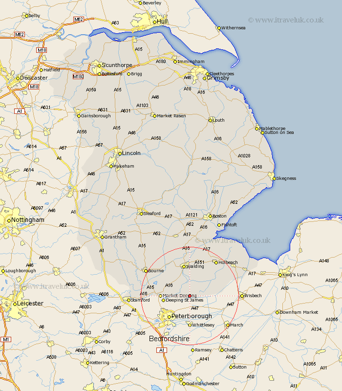
Lincolnshire Map Showing Location of Leverington
Population: 2914
District: South Holland
Easting: 526217 Northing: 309338
Latitude: 52.67 Longitude: -0.13
 = Leverington
District: South Holland
Easting: 526217 Northing: 309338
Latitude: 52.67 Longitude: -0.13
= Leverington
This Leverington map below is supplied by Google. Use the tools in the top left corner to zoom into street level or zoom out for a road map, you may also need to zoom in to see Leverington on the map. Click and drag the map to move around. If the map fails to load try and refresh your browser or zoom in or out (+ or -).
Update - it seems Google no longer allow people to use their maps for free! This Leverington map sometimes loads and sometimes gives a error. I am working on a solution.
Closest 30 Towns or Cities to Leverington (Population over 500)
Crowland 1.12km Croyland 1.12km Deeping St. Nicholas 7.15km Deeping Saint Nicholas 7.15km Deeping St Nicholas 7.15km Cowbit 7.49km Godney Hill 7.87km Gedney Hill 7.87km Deeping St. James 10.29km Deeping Saint James 10.29km Deeping St James 10.29km Market Deeping 11.24km Spalding 13.16km Langtoft 13.98km Langfoft 13.98km Moulton 14.13km Whaplode 14.61km Pinchbeck 14.87km Baston 15.07km Sutton St James 15.38km Sutton Saint James 15.38km Sutton St. James 15.38km Weston 15.49km Thurlby 16.68km Holbeach 17.94km Surfleet 18.52km Fleet 18.69km Uffington 19.2km Bourn 20.18km Bourne 20.18km