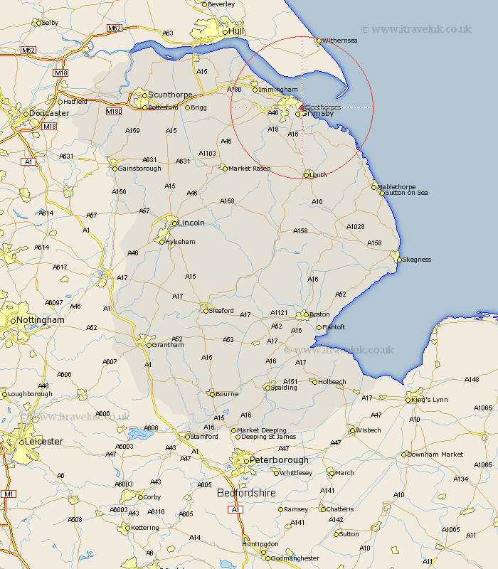
Lincolnshire Map Showing Location of Cleethorpes
Population: 32171
Area Size (ha): 565
Easting: 530280 Northing: 407755
Latitude: 53.55 Longitude: -0.03
 = Cleethorpes
Area Size (ha): 565
Easting: 530280 Northing: 407755
Latitude: 53.55 Longitude: -0.03
= Cleethorpes
This Cleethorpes map below is supplied by Google. Use the tools in the top left corner to zoom into street level or zoom out for a road map, you may also need to zoom in to see Cleethorpes on the map. Click and drag the map to move around. If the map fails to load try and refresh your browser or zoom in or out (+ or -).
Update - it seems Google no longer allow people to use their maps for free! This Cleethorpes map sometimes loads and sometimes gives a error. I am working on a solution.
Closest 30 Towns or Cities to Cleethorpes (Population over 500)
Humberstone 1.86km Humberston 1.86km Great Grimsby 2.16km Grimsby 2.16km Great Coates 3.79km Holton le Clay 4.31km Waltham 5.76km Tetney 7.5km Healing 9km Laceby 9km North Thoresby 9.33km North Coates 10.26km Stallingborough 10.57km Fulstow 11.17km Grainthorpe 12.05km Immingham 13.32km South Killingholme 13.34km Keelby 14.43km Habrough 15.35km binbrook 16.34km North Somercotes 17.76km Caistor 20.15km Nettleton 20.15km Louth 20.41km Saltfleet 20.62km East Halton 20.99km Ulceby 21.15km Grimoldby 21.8km Saltfleetby St Clement 22km Saltfleetby Saint Clement 22km