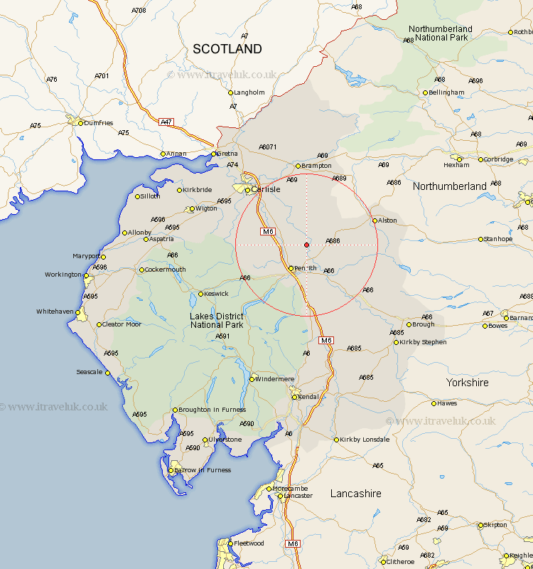
Cumbria Map Showing Location of Lazonby
Population: 980
District: Eden
Easting: 354930 Northing: 537827
Latitude: 54.73 Longitude: -2.7
 = Lazonby
District: Eden
Easting: 354930 Northing: 537827
Latitude: 54.73 Longitude: -2.7
= Lazonby
This Lazonby map below is supplied by Google. Use the tools in the top left corner to zoom into street level or zoom out for a road map, you may also need to zoom in to see Lazonby on the map. Click and drag the map to move around. If the map fails to load try and refresh your browser or zoom in or out (+ or -).
Update - it seems Google no longer allow people to use their maps for free! This Lazonby map sometimes loads and sometimes gives a error. I am working on a solution.
Closest 30 Towns or Cities to Lazonby (Population over 500)
Kirkoswald 3.71km Langwathby 5.96km Ainstable 7.72km Culgaith 11.27km Skelton 11.33km Greystoke 14.16km Dacre 15.54km Kirkby Thore 16.16km Wetheral 16.61km Hayton 18.81km Long Marton 18.94km Long Marston 18.94km Hesket Newmarket 20.33km Farlam 20.42km Dalston 21.3km Carlisle 22.4km Caldbeck 22.47km Irthington 22.64km Appleby 23.19km Stanwix 23.81km Shap 24.18km Brampton 24.19km Thursby 25.05km Crosby Ravensworth 25.23km Westward 28.35km Rockcliffe 28.7km Rockcliff 28.7km Burgh 30.31km Burgh by Sands 30.31km Burgh-by-Sands 30.31km