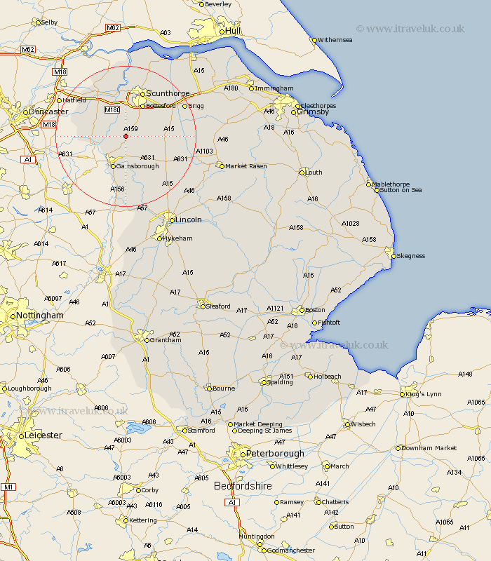
Lincolnshire Map Showing Location of Laughton
Population: 309
District: West Lindsey
Easting: 485183 Northing: 397456
Latitude: 53.47 Longitude: -0.72
 = Laughton
District: West Lindsey
Easting: 485183 Northing: 397456
Latitude: 53.47 Longitude: -0.72
= Laughton
This Laughton map below is supplied by Google. Use the tools in the top left corner to zoom into street level or zoom out for a road map, you may also need to zoom in to see Laughton on the map. Click and drag the map to move around. If the map fails to load try and refresh your browser or zoom in or out (+ or -).
Update - it seems Google no longer allow people to use their maps for free! This Laughton map sometimes loads and sometimes gives a error. I am working on a solution.
Closest 30 Towns or Cities to Laughton (Population over 500)
Blyton 3.71km Scotter 3.79km Owston 3.79km Owston Ferry 3.79km Scotton 4.41km Kirton in Lindsey 7.72km Kirton 7.72km Haxey 7.94km Messingham 8.62km Morton 8.63km Epworth 8.64km West Butterwick 9.52km Gainesborough 9.85km Gainsborough 9.85km Bottesford 10.26km Lea 11.34km Burringham 11.34km Belton 11.38km Hibaldstow 12.68km Gunness 13.01km Gunhouse 13.01km Willingham 13.16km Waddingham 13.37km Scunthorpe 13.7km Scawby 14.21km Keadby 14.86km Broughton 15.65km Crowle 16.23km Marton 16.72km Flixborough 16.82km