Essex Map Showing Location of Snoreham
Population: 1232
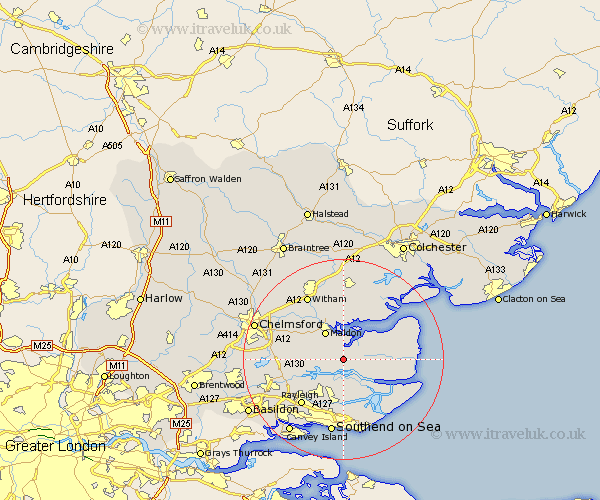
District: Maldon
Easting: 589000 Northing: 200024
Latitude: 51.67 Longitude: 0.73
 = Snoreham
District: Maldon
Easting: 589000 Northing: 200024
Latitude: 51.67 Longitude: 0.73
= Snoreham
This Snoreham map below is supplied by Google. Use the tools in the top left corner to zoom into street level or zoom out for a road map, you may also need to zoom in to see Snoreham on the map. Click and drag the map to move around. If the map fails to load try and refresh your browser or zoom in or out (+ or -).
Update - it seems Google no longer allow people to use their maps for free! This Snoreham map sometimes loads and sometimes gives a error. I am working on a solution.
Closest 30 Towns or Cities to Snoreham (Population over 500)
Althorne 2.18km Mayland 3.92km Cold Norton 4.6km Fambridge 5.07km North Fambridge 5.07km Purleigh 5.75km Maldon 6.54km Malden 6.54km Southminster 7.14km Goldhanger 7.49km Canewdon 7.51km Canewelon 7.51km Woodham Mortimer 7.83km Heybridge 8.17km Burnham 8.86km Burnham-on-Crouch 8.86km Burnham on Crouch 8.86km Rochford 9.34km Woodham Ferrers 9.38km Tolleshunt Major 9.54km Hawkwell 10.35km Tillingham 10.51km Bickacre 10.51km Bicknacre 10.51km Hockley 10.91km Tollesbury 11.54km Barling 11.64km Tolleshunt D'Arcy 12.03km Danbury 12.07km Rayleigh 12.28km