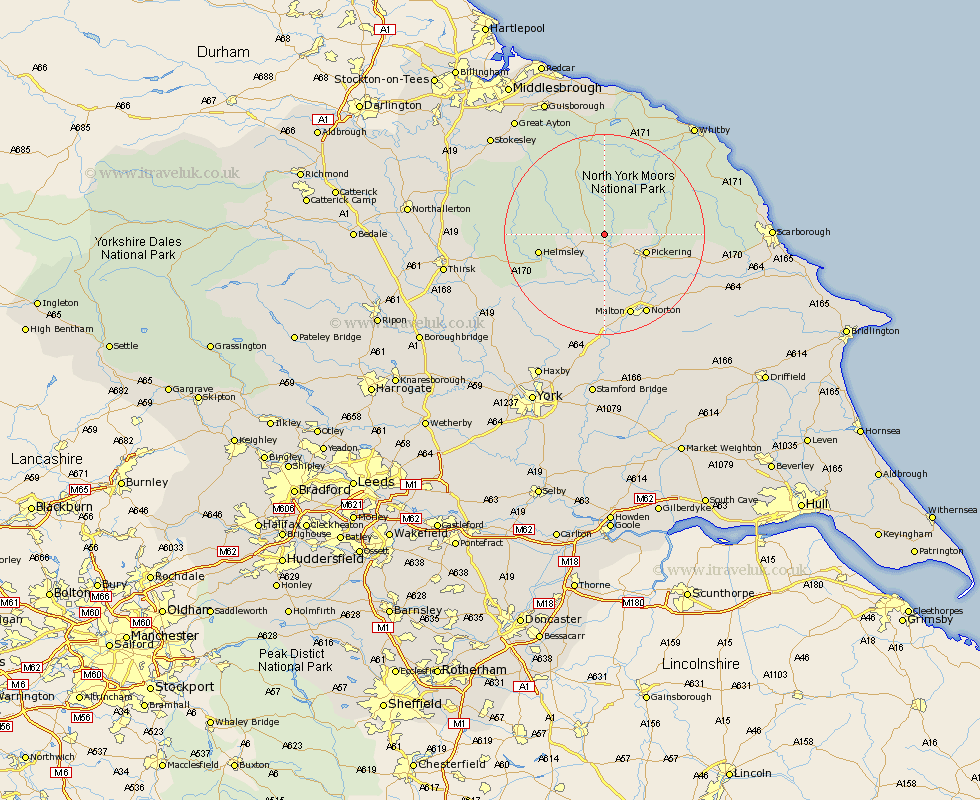
Yorkshire Map Showing Location of Lastingham
Population: 96
District: Ryedale
Easting: 472690 Northing: 488110
Latitude: 54.28 Longitude: -0.88
 = Lastingham
District: Ryedale
Easting: 472690 Northing: 488110
Latitude: 54.28 Longitude: -0.88
= Lastingham
This Lastingham map below is supplied by Google. Use the tools in the top left corner to zoom into street level or zoom out for a road map, you may also need to zoom in to see Lastingham on the map. Click and drag the map to move around. If the map fails to load try and refresh your browser or zoom in or out (+ or -).
Update - it seems Google no longer allow people to use their maps for free! This Lastingham map sometimes loads and sometimes gives a error. I am working on a solution.
Closest 30 Towns or Cities to Lastingham (Population over 500)
Kirby Moorside 3.73km Kirkby Moorside 3.73km Pickering 8.43km Nawton 8.55km Thornton-le-Dale 12.17km Thornton Dale 12.17km Helmsley 12.47km Slingsby 14.98km Malton 17.35km Ampleforth 17.77km Norton 17.98km Rillington 19.02km Terrington 19.3km Yedingham 19.65km Snainton 20.85km Ingleby 21.8km Brompton 22.89km Sleights 23.25km Sheriff Hutton 23.5km Stillington 25.41km Great Broughton 26.09km Fylingdales 27.1km Sherburn 27.13km Huby 27.55km Hawsker 27.65km Easingwold 27.7km Strensall 27.72km Whitby 27.92km Whorlton 28.01km Osmotherley 28.57km