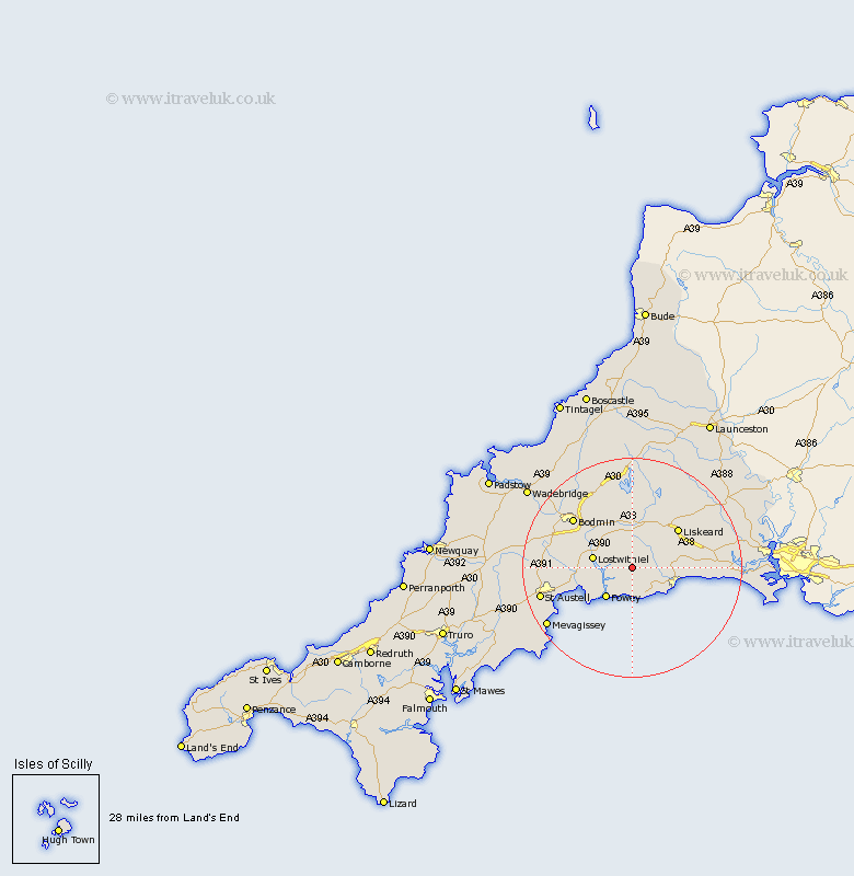
Cornwall Map Showing Location of Lanreath
Population: 514
District: Caradon
Easting: 217549 Northing: 56929
Latitude: 50.38 Longitude: -4.57
 = Lanreath
District: Caradon
Easting: 217549 Northing: 56929
Latitude: 50.38 Longitude: -4.57
= Lanreath
This Lanreath map below is supplied by Google. Use the tools in the top left corner to zoom into street level or zoom out for a road map, you may also need to zoom in to see Lanreath on the map. Click and drag the map to move around. If the map fails to load try and refresh your browser or zoom in or out (+ or -).
Update - it seems Google no longer allow people to use their maps for free! This Lanreath map sometimes loads and sometimes gives a error. I am working on a solution.
Closest 30 Towns or Cities to Lanreath (Population over 500)
Lansallos 1.85km Pelynt 3km Duloe 5.91km Lanteglos 6.59km Fowey 7.3km Lostwithiel 7.33km Dobwalls 8.22km Morval 8.27km West Looe 8.7km Looe 8.7km Tywardreath 9.07km St. Blazey 10.79km St Blazey 10.79km Saint Blazey 10.79km Liskeard 11.11km Par 11.26km Menheniot 12km Cardingham 12.59km Cardinham 12.59km Bodmin 14.1km Lanivet 15.99km Stenalees 16.53km Bugle 16.54km Blisland 16.98km St Austell 17.46km Saint Austell 17.46km St. Austell 17.46km Mevagissey 18.98km Mevegissey 18.98km Roche 18.99km