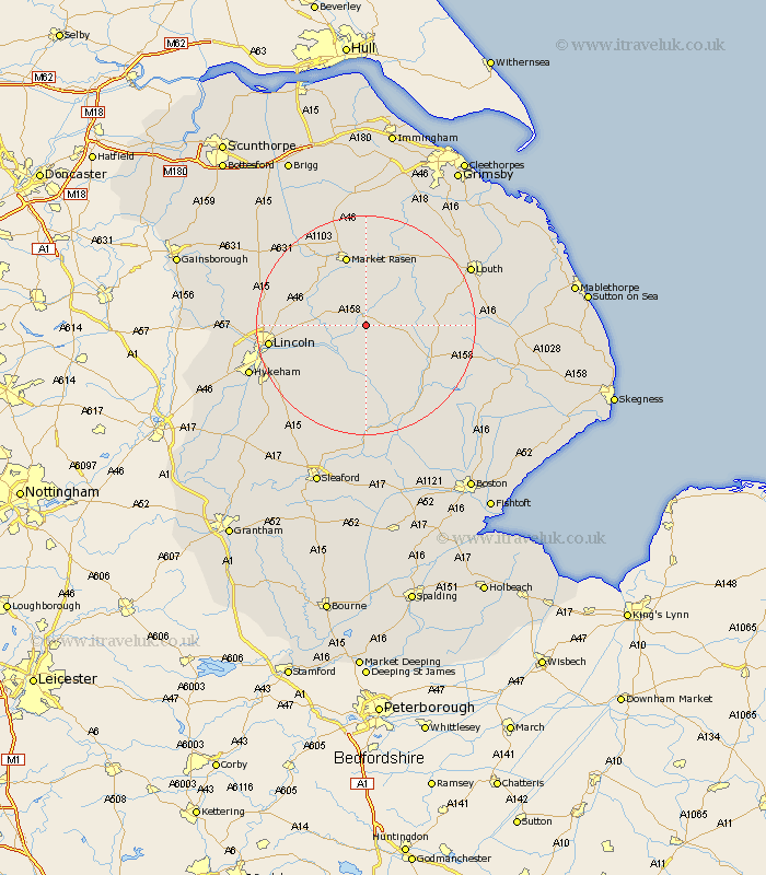
Lincolnshire Map Showing Location of Langton By Wragby
Population: 34
District: East Lindsey
Easting: 514479 Northing: 375817
Latitude: 53.27 Longitude: -0.28
 = Langton By Wragby
District: East Lindsey
Easting: 514479 Northing: 375817
Latitude: 53.27 Longitude: -0.28
= Langton By Wragby
This Langton By Wragby map below is supplied by Google. Use the tools in the top left corner to zoom into street level or zoom out for a road map, you may also need to zoom in to see Langton By Wragby on the map. Click and drag the map to move around. If the map fails to load try and refresh your browser or zoom in or out (+ or -).
Update - it seems Google no longer allow people to use their maps for free! This Langton By Wragby map sometimes loads and sometimes gives a error. I am working on a solution.
Closest 30 Towns or Cities to Langton By Wragby (Population over 500)
Wragby 2.15km Holton 4.98km Bardney 5.99km Cherry Willingham 10.19km Reepham 10.65km Fiskerton 10.65km Sudbrooke 11.08km Scothern 11.23km Dunholm 12.74km Dunholme 12.74km Potter Hanworth 12.84km Nettleham 13.3km Banovallum 13.34km Horncastle 13.34km Market Rasen 13.38km Washingborough 13.41km Woodhall Spa 13.72km Welton 13.8km Middle Rasen 14.1km Nocton 14.23km Heighington 14.28km Dunston 15.13km Branston 15.33km Metheringham 16.75km Martin 17.01km Lincoln 17.04km Mareham 17.15km Mareham-on-the-Hill 17.15km Mareham on the Hill 17.15km Coningsby 18.4km