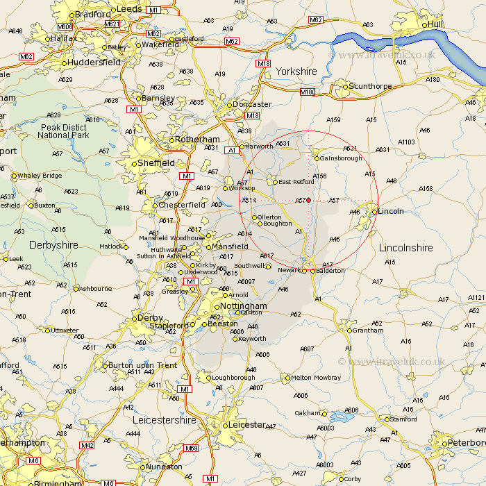
Nottinghamshire Map Showing Location of Laneham
Population: 279
District: Bassetlaw
Easting: 480025 Northing: 375114
Latitude: 53.27 Longitude: -0.8
 = Laneham
District: Bassetlaw
Easting: 480025 Northing: 375114
Latitude: 53.27 Longitude: -0.8
= Laneham
This Laneham map below is supplied by Google. Use the tools in the top left corner to zoom into street level or zoom out for a road map, you may also need to zoom in to see Laneham on the map. Click and drag the map to move around. If the map fails to load try and refresh your browser or zoom in or out (+ or -).
Update - it seems Google no longer allow people to use their maps for free! This Laneham map sometimes loads and sometimes gives a error. I am working on a solution.
Closest 30 Towns or Cities to Laneham (Population over 500)
Bampton 3.7km Rampton 3.7km North Leverton 5.67km East Markham 5.85km Markham 5.85km Grove 7.61km Tuxford 7.85km East Retford 10.46km Elkesley 11.08km Elksley 11.08km Clarborough 11.4km Hayton 11.4km Walesby 12.75km Collingham 13.4km North Collingham 13.4km Boughton 14.85km Beckingham 14.99km Sutton 15.3km Ollerton 15.45km Gringley 16.24km Gringley on the Hill 16.24km Gringley-on-the-Hill 16.24km Muskham 16.72km North Muskham 16.72km Walkeringham 16.83km Everton 17.86km Ranskill 18.19km Ramskill 18.19km Mattersey 18.5km Winthorpe 18.57km