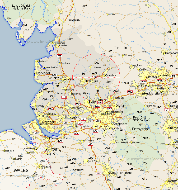
Lancashire Map Showing Location of Altham
Population: 897
District: Hyndburn
Easting: 378039 Northing: 431965
Latitude: 53.78 Longitude: -2.33
 = Altham
District: Hyndburn
Easting: 378039 Northing: 431965
Latitude: 53.78 Longitude: -2.33
= Altham
This Altham map below is supplied by Google. Use the tools in the top left corner to zoom into street level or zoom out for a road map, you may also need to zoom in to see Altham on the map. Click and drag the map to move around. If the map fails to load try and refresh your browser or zoom in or out (+ or -).
Update - it seems Google no longer allow people to use their maps for free! This Altham map sometimes loads and sometimes gives a error. I am working on a solution.
Closest 30 Towns or Cities to Altham (Population over 500)
Padiham 1.09km Hapton 1.09km Simonstone 1.1km Accrington 2.15km Sabden 3.71km Clayton le Moors 3.77km Clayton le Moor 3.77km Clayton-le-Moors 3.77km Church 4.95km Great Harwood 5.48km Whalley 6.61km Rishton 6.61km Burnley 6.82km Oswaldtwistle 7.08km Brierfield 7.54km Langho 7.88km Haslingden 9.27km Rawtenstall 9.83km Wilpshire 9.86km Clitheroe 10.25km Nelson 10.37km Blackburn 10.53km Barrowford 10.66km Chatburn 11.17km Waddington 12.39km Darwen 12.76km Edenfield 13.15km Grindleton 13.16km Colne 13.22km Ribchester 13.27km