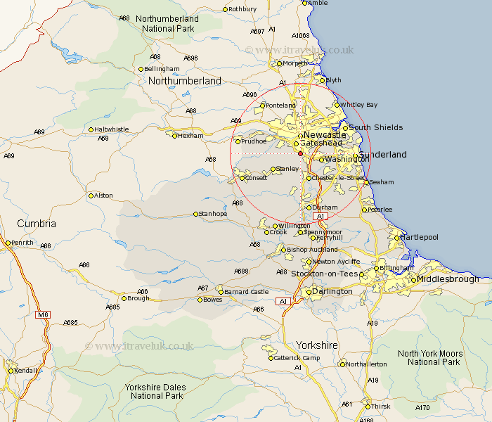
Durham Map Showing Location of Lamesley
Population: 3928
District: Gateshead
Easting: 425637 Northing: 558082
Latitude: 54.92 Longitude: -1.6
 = Lamesley
District: Gateshead
Easting: 425637 Northing: 558082
Latitude: 54.92 Longitude: -1.6
= Lamesley
This Lamesley map below is supplied by Google. Use the tools in the top left corner to zoom into street level or zoom out for a road map, you may also need to zoom in to see Lamesley on the map. Click and drag the map to move around. If the map fails to load try and refresh your browser or zoom in or out (+ or -).
Update - it seems Google no longer allow people to use their maps for free! This Lamesley map sometimes loads and sometimes gives a error. I am working on a solution.
Closest 30 Towns or Cities to Lamesley (Population over 500)
Lamesley 0km Ouston Moor 3.15km Ouston 3.15km Gateshead-on-Tyne 3.34km Gateshead on Tyne 3.34km Gateshead 3.34km Birtley 4.28km Felling 4.97km Pelton 5.56km Whickham 5.63km Washington New Town 5.64km Washington 5.64km Burnopfield 7.69km Hebburn on Tyne 7.7km Hebburn-on-Tyne 7.7km Hebburn 7.7km Edmondsley 7.72km Chester-le-Street 7.72km Blaydon 8.47km Stanley 8.47km Rowlands Gill 8.52km Boldon 9.29km West Boldon 9.29km Sacriston 11.17km Annfield Plain 11.3km Houghton le Spring 11.3km Jarrow-on-Tyne 11.88km Jarrow on Tyne 11.88km Jarrow 11.88km West Rainton 12.83km