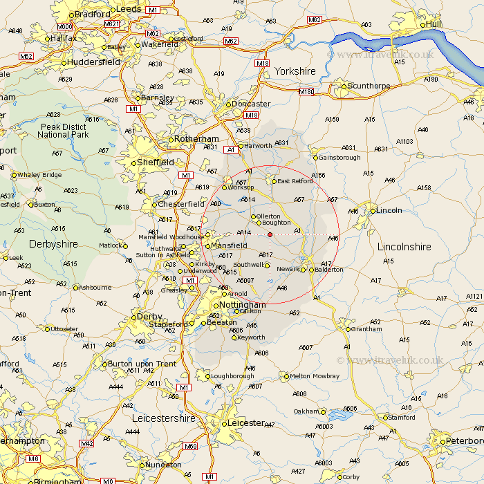
Nottinghamshire Map Showing Location of Kneesall
Population: 220
District: Newark and Sherwood
Easting: 470186 Northing: 363833
Latitude: 53.17 Longitude: -0.95
 = Kneesall
District: Newark and Sherwood
Easting: 470186 Northing: 363833
Latitude: 53.17 Longitude: -0.95
= Kneesall
This Kneesall map below is supplied by Google. Use the tools in the top left corner to zoom into street level or zoom out for a road map, you may also need to zoom in to see Kneesall on the map. Click and drag the map to move around. If the map fails to load try and refresh your browser or zoom in or out (+ or -).
Update - it seems Google no longer allow people to use their maps for free! This Kneesall map sometimes loads and sometimes gives a error. I am working on a solution.
Closest 30 Towns or Cities to Kneesall (Population over 500)
Boughton 4.7km Bilsthorpe 6.68km Tuxford 7.12km Ollerton 7.12km Walesby 7.73km Edwinstowe 7.99km Farnsfield 9.27km Southwell 9.7km Clipstone 10km East Markham 10.27km Markham 10.27km North Muskham 10.49km Muskham 10.49km Elkesley 11.17km Elksley 11.17km Rainworth 12.43km Winthorpe 13.36km Fiskerton Ferry 13.4km Fiskerton 13.4km Collingham 13.46km North Collingham 13.46km Warsop 13.83km Newark on Trent 14.24km Newark 14.24km Newark upon Trent 14.24km Newark-on-Trent 14.24km Farndon 14.59km Bleasby 14.87km Oxton 15.13km Grove 15.19km