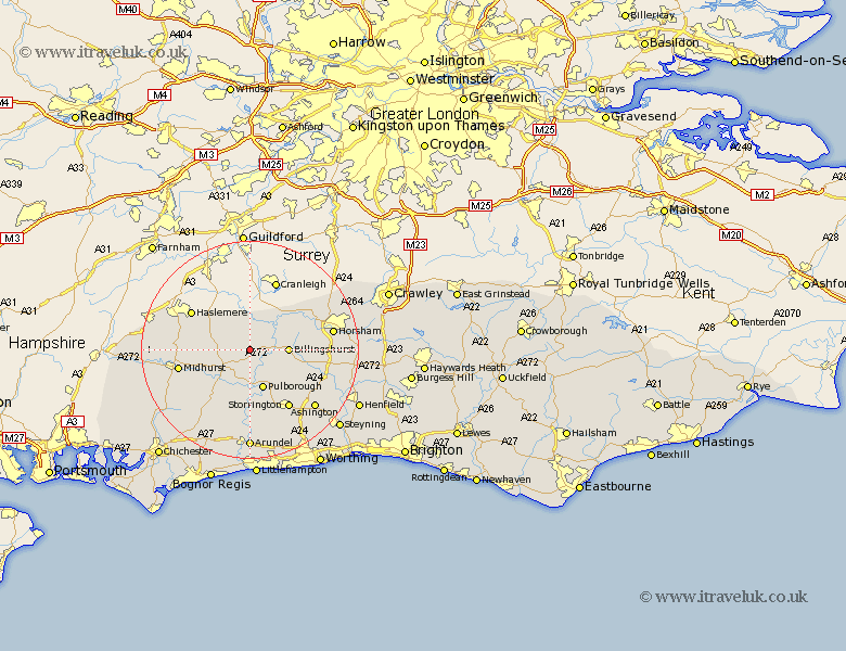
Sussex Map Showing Location of Kirdford
Population: 912
District: Chichester
Easting: 501697 Northing: 125207
Latitude: 51.02 Longitude: -0.55
 = Kirdford
District: Chichester
Easting: 501697 Northing: 125207
Latitude: 51.02 Longitude: -0.55
= Kirdford
This Kirdford map below is supplied by Google. Use the tools in the top left corner to zoom into street level or zoom out for a road map, you may also need to zoom in to see Kirdford on the map. Click and drag the map to move around. If the map fails to load try and refresh your browser or zoom in or out (+ or -).
Update - it seems Google no longer allow people to use their maps for free! This Kirdford map sometimes loads and sometimes gives a error. I am working on a solution.
Closest 30 Towns or Cities to Kirdford (Population over 500)
Wisborough Green 3.5km Plaistow 3.88km Petworth 5.1km Tillington 5.96km Loxwood 6.03km North Chapel 6.9km Northchapel 6.9km Billingshurst 6.99km Fittleworth 7.51km Pulborough 7.78km Lurgashall 8.16km Coldwaltham 9.35km Slinfold 11.12km Amberley 11.18km West Chiltington 11.62km West Chillington 11.62km Itchingfield 11.8km Fernhurst 11.8km Rudgwick 12.34km Storrington 13.02km Bury 13.03km Thakeham 13.16km Graffham 13.16km Midhurst 13.35km Shipley 13.98km Southwater 13.99km Linchmere 14.47km West Horsham 15.6km Horsham 15.6km Ashington 16.12km